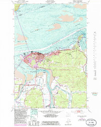
1949 Map of Astoria
USGS Topo · Published 1985About this map
The deep-water port of Astoria anchors this mid-century survey, showcasing a landscape defined by the convergence of the Columbia River, Youngs Bay, and the John Day River. On the high ground of Coxcomb Hill, the Astoria Column stands as a prominent landmark overlooking the city's grid and the industrial activity along the shoreline. The map reveals the strategic military and maritime infrastructure of the era, including the U S Navy Radio Sta and the housing at Navy Heights and Tongue Point Village. Moving south, the terrain shifts into the timberlands of the Clatsop State Forest and the agricultural lowlands of Miles Crossing, where the Lewis and Clark River meanders toward the Fort Clatsop National Memorial, marking the traditional site of the expedition's winter encampment.
Find a feature on this map
54 named features on this map. Tap any name to fly to it.
Don’t see what you’re looking for? This feature index may not catch every label — zoom into the map to look around manually.
Map Details
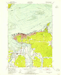
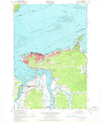
Editions of this 1949 Astoria Map
4 editions found
Other maps of this area

1919 · Astoria
USGS Topo · 1:62,500

1938 · Fort Columbia
USGS Topo · 1:62,500

1939 · Astoria
USGS Topo · 1:62,500

1940 · Svensen
USGS Topo · 1:62,500

1940 · Brookfield
USGS Topo · 1:62,500

1943 · Fort Columbia
USGS Topo · 1:62,500

1949 · Astoria
USGS Topo · 1:24,000

1949 · Chinook
USGS Topo · 1:24,000

1949 · Knappton
USGS Topo · 1:24,000

1949 · Cathlamet Bay
USGS Topo · 1:24,000