
1955 Map of Grays River
USGS Topo · Published 1957About this map
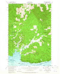
Columbia River riverfront life and the timber-driven economy of the mid-1950s define this survey of the Washington and Oregon borderlands. Along the northern shores of Grays Bay, the settlements of Altoona, Brookfield, and Rosburg serve as anchors for a landscape shaped by tidal sloughs and steep timbered ridges. The presence of the Pillar Rock Cannery and several gaging stations underscores the area's reliance on the river’s resources, while family-named landmarks like Hendrickson Canyon and Wilcox Canyon point to the deep roots of local homesteaders.
Find a feature on this map
78 named features on this map. Tap any name to fly to it.
Don’t see what you’re looking for? This feature index may not catch every label — zoom into the map to look around manually.
Map Details
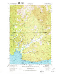
Editions of this 1955 Grays River Map
3 editions found
Other maps of this area

1919 · Astoria
USGS Topo · 1:62,500

1938 · Fort Columbia
USGS Topo · 1:62,500

1938 · South Bend
USGS Topo · 1:62,500

1939 · Astoria
USGS Topo · 1:62,500

1940 · Svensen
USGS Topo · 1:62,500

1940 · Brookfield
USGS Topo · 1:62,500

1940 · South Bend
USGS Topo · 1:62,500

1941 · Walville
USGS Topo · 1:62,500

1941 · Skamokawa
USGS Topo · 1:62,500

1941 · Cathlamet
USGS Topo · 1:62,500