
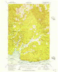
1955 Map of Grays River
USGS Topo · Published 1979About this map
Industrial activity and riverine settlement define this 1955 survey of the lower Columbia region. The Naselle River & Western RR snakes through the northern hills, supporting a landscape marked by a Logging Camp and specialized infrastructure like the Nasalle Loop. Along the southern waterfront, the Columbia River serves as the primary economic artery, home to the Pillar Rock Cannery and settlements such as Altoona and Brookfield. Inland, the winding Grays River connects small communities like Rosburg, where the Grays River (BM 27) Cemetery and local Community Hall provide a glimpse into the social fabric of the era. The terrain transitions from tidal flats at Grays Bay to high points like Elk Mountain and Hull Creek Lookout, reflecting a landscape shared between maritime industry and timber harvesting.
Find a feature on this map
96 named features on this map. Tap any name to fly to it.
Don’t see what you’re looking for? This feature index may not catch every label — zoom into the map to look around manually.
Map Details
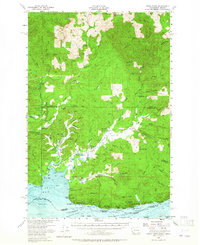
Editions of this 1955 Grays River Map
3 editions found
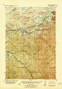
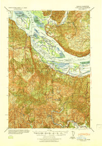
Other maps of this area

1919 · Astoria
USGS Topo · 1:62,500

1938 · Fort Columbia
USGS Topo · 1:62,500

1938 · South Bend
USGS Topo · 1:62,500

1939 · Astoria
USGS Topo · 1:62,500
1940 · Svensen
USGS Topo · 1:62,500

1940 · Brookfield
USGS Topo · 1:62,500

1940 · South Bend
USGS Topo · 1:62,500

1941 · Walville
USGS Topo · 1:62,500

1941 · Skamokawa
USGS Topo · 1:62,500
1941 · Cathlamet
USGS Topo · 1:62,500