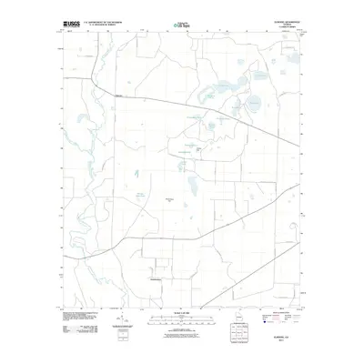
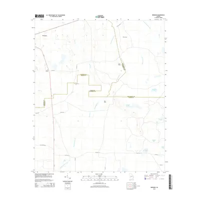
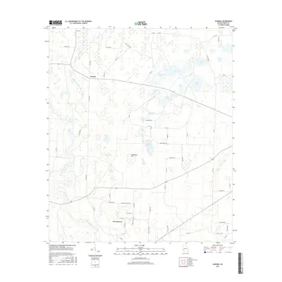
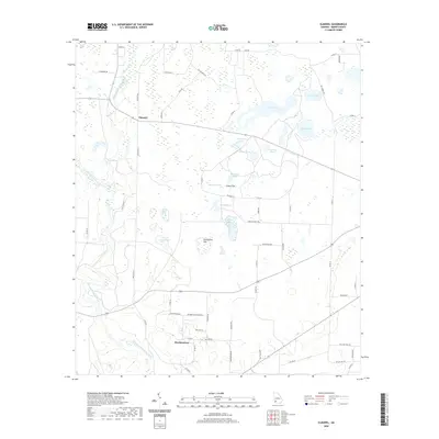
1974 Map of Elmodel
USGS Topo · Published 1976About this map
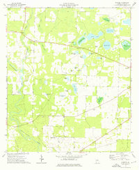
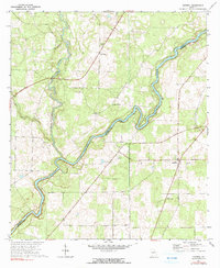
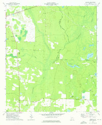
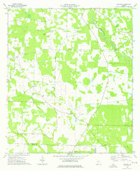
Elmodel and the surrounding Baker County landscape are defined by a dense network of depressional wetlands and limestone sinks, seen here in the mid-1970s. The area is dotted with numerous named ponds, such as Cypress Pond, Rockhole Pond, and Jones Pond, which reveal the unique karst topography of this part of Georgia. Flowing through this watery terrain are Chickasawhatchee Creek and Ichawaynochaway Creek, where an Old Dam Site remains along the banks. Rural life centers on a series of small community hubs and churches, including New Salem Ch, Second Belmont Ch, and Hawkinstown to the south. The prevalence of features like Richardson Flat, Grassy Flat, and a Sandpit indicate a land shaped by both natural drainage patterns and local resource extraction. Genealogists will find several small burial grounds and landmarks like Travelers Rest Ch and Mt Carmel Ch providing clues to the area’s historic social fabric.
Find a feature on this map
41 named features on this map. Tap any name to fly to it.
Don’t see what you’re looking for? This feature index may not catch every label — zoom into the map to look around manually.
Map Details
Editions of this 1974 Elmodel Map
This is the sole edition of this map. No revisions or reprints were ever made.
Historical Maps of Hawkinstown Through Time
24 maps found
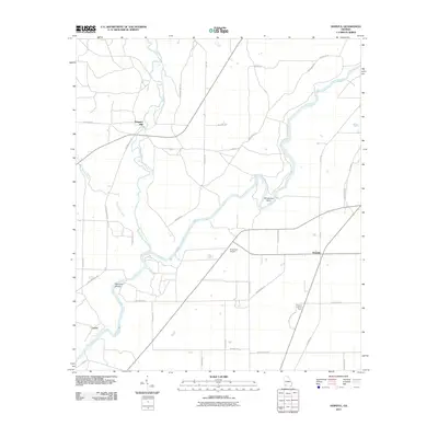
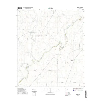
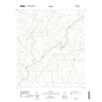
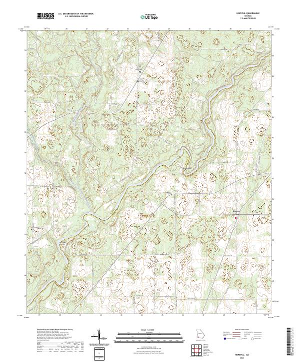
1971 Hopeful
Baker County, GA
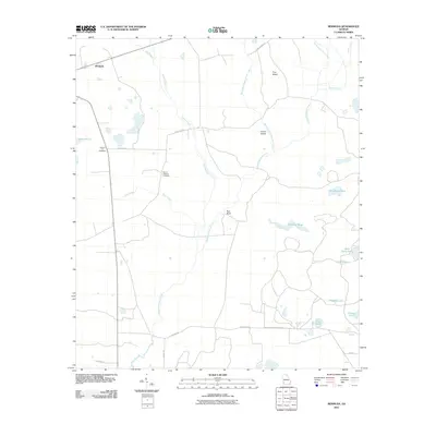
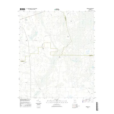
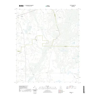
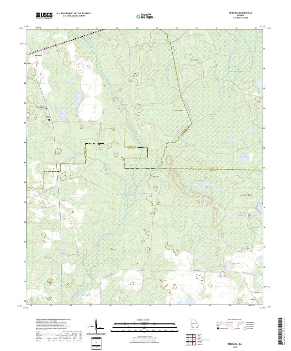
1974 Bermuda
Baker County, GA
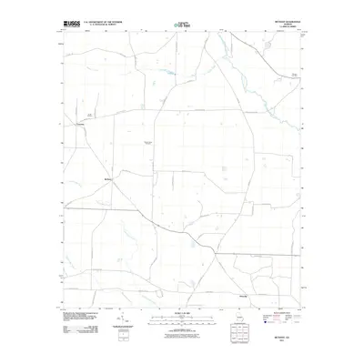
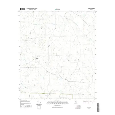
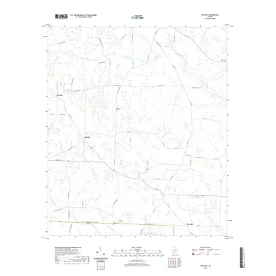
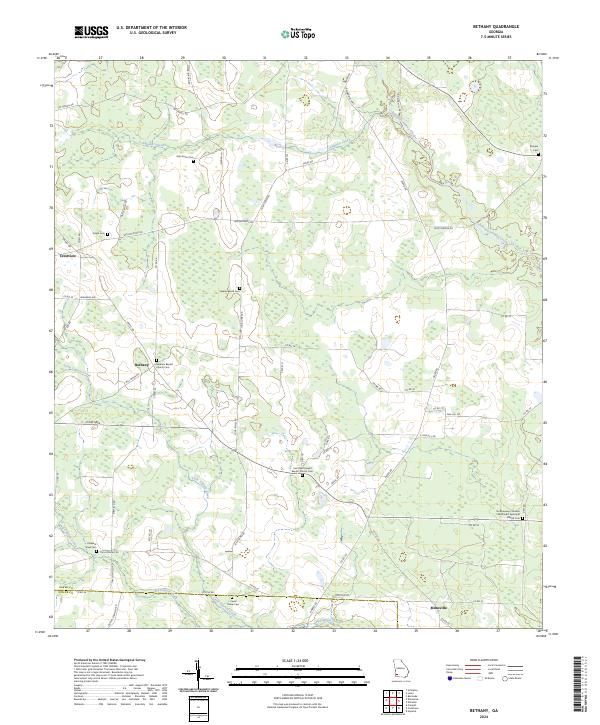
1974 Bethany
Baker County, GA
1974 Elmodel
Baker County, GA
2011 Bermuda
Baker County, GA
2011 Bethany
Baker County, GA
2011 Elmodel
Baker County, GA
2011 Hopeful
Baker County, GA
2014 Bermuda
Baker County, GA
2014 Bethany
Baker County, GA
2014 Elmodel
Baker County, GA
2014 Hopeful
Baker County, GA
2017 Bermuda
Baker County, GA
2017 Bethany
Baker County, GA
2017 Elmodel
Baker County, GA
2017 Hopeful
Baker County, GA
2020 Bermuda
Baker County, GA
2020 Bethany
Baker County, GA
2020 Elmodel
Baker County, GA
2020 Hopeful
Baker County, GA
2024 Bermuda
Baker County, GA
2024 Bethany
Baker County, GA
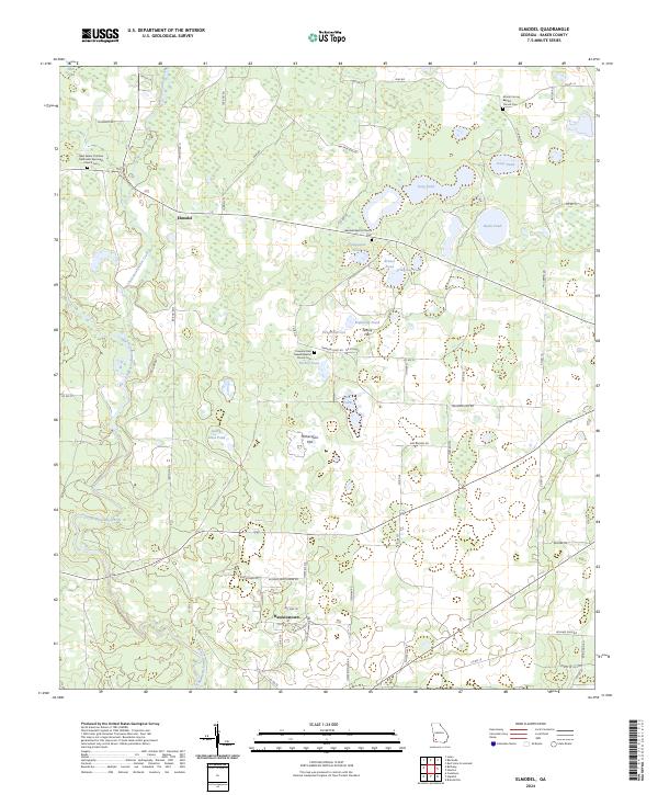
2024 Elmodel
Baker County, GA
2024 Hopeful
Baker County, GA