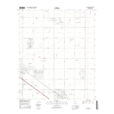
2014 Map of Eloy North
USGS Topo · Published 2014About this map
Eloy and the neighboring community of Toltec anchor this 2014 survey of Pinal County, reflecting the residential and agricultural expansion in the Santa Cruz Flats. The landscape is defined by a rigid grid of rural roads and irrigation infrastructure, most notably the Casa Grande Canal which snakes through the northwestern sections. This water management system is essential to the local economy, supporting the vast open tracts of the Gila River Valley between Phoenix and Tucson.
Find a feature on this map
116 named features on this map. Tap any name to fly to it.
Don’t see what you’re looking for? This feature index may not catch every label — zoom into the map to look around manually.
Map Details
Editions of this 2014 Eloy North Map
This is the sole edition of this map. No revisions or reprints were ever made.
Other maps of this area

1922 · Red Rock No 2
USGS Topo · 1:48,000

1922 · Signal Peak
USGS Topo · 1:62,500

1924 · Signal Peak
USGS Topo · 1:62,500

1934 · Newman Peak
USGS Topo · 1:125,000

1947 · Red Rock
USGS Topo · 1:62,500

1947 · Eloy
USGS Topo · 1:62,500

1948 · Eloy
USGS Topo · 1:62,500

1956 · Tucson
USGS Topo · 1:250,000

1958 · Tucson
USGS Topo · 1:250,000

1959 · Tucson
USGS Topo · 1:250,000