
1924 Map of Signal Peak
USGS Topo · Published 1924About this map
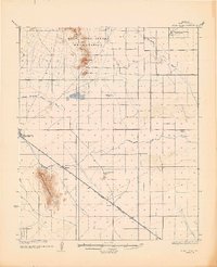
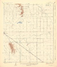
Sacaton Mountains and the Casa Grande Mountains dominate this arid corridor of Pinal County, where agricultural and industrial development followed the arrival of the Southern Pacific Railroad. The survey details a landscape transitioning from the northern reaches of the Gila River Indian Reservation to the growing rail settlements of Casa Grande, Arizola, Toltec, and Eloy. Water management is central to the area's layout, evidenced by the Casa Grande Florence Canal and several washes including the North Branch Santa Cruz Wash.
Find a feature on this map
20 named features on this map. Tap any name to fly to it.
Don’t see what you’re looking for? This feature index may not catch every label — zoom into the map to look around manually.
Map Details
Editions of this 1924 Signal Peak Map
3 editions found
Other maps of this area

1900 · Florence
USGS Topo · 1:125,000

1902 · Florence
USGS Topo · 1:125,000

1907 · Sacaton
USGS Topo · 1:62,500

1914 · Gila Butte
USGS Topo · 1:62,500

1917 · Gila Butte
USGS Topo · 1:62,500

1922 · Red Rock No 2
USGS Topo · 1:48,000

1922 · Casa Grande
USGS Topo · 1:62,500

1922 · Signal Peak
USGS Topo · 1:62,500

1924 · Casa Grande
USGS Topo · 1:62,500

1934 · Newman Peak
USGS Topo · 1:125,000