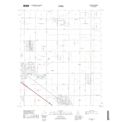
2018 Map of Eloy North
USGS Topo · Published 2018About this map
Eloy and the adjacent community of Toltec sit at the center of this 2018 survey, illustrating a grid of residential streets and agricultural infrastructure in the high desert. The town's layout is defined by its proximity to the Santa Cruz Flats, with a dense network of local roads such as W Encanto Dr and W Madera Dr branching off main arteries. To the north, the Eloy Municipal Airport serves as a local aviation hub, while the agricultural character of Pinal County is evident in the irrigation systems crossing the landscape. The Casa Grande Canal and the Florence Casa Grande Canal Extension cut through the northern sections, moving water across the desert to support the local economy. In the south, the natural drainage of McClellan Wash provides a stark contrast to the rigid geometry of the surrounding township and range survey lines.
Find a feature on this map
163 named features on this map. Tap any name to fly to it.
Don’t see what you’re looking for? This feature index may not catch every label — zoom into the map to look around manually.
Map Details
Editions of this 2018 Eloy North Map
This is the sole edition of this map. No revisions or reprints were ever made.
Other maps of this area
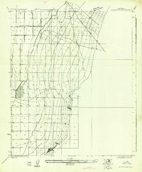
1922 · Red Rock No 2
USGS Topo · 1:48,000
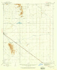
1922 · Signal Peak
USGS Topo · 1:62,500
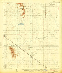
1924 · Signal Peak
USGS Topo · 1:62,500
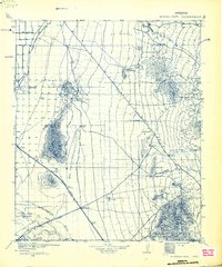
1934 · Newman Peak
USGS Topo · 1:125,000
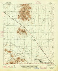
1947 · Red Rock
USGS Topo · 1:62,500
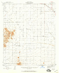
1947 · Eloy
USGS Topo · 1:62,500
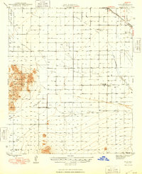
1948 · Eloy
USGS Topo · 1:62,500

1956 · Tucson
USGS Topo · 1:250,000
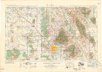
1958 · Tucson
USGS Topo · 1:250,000
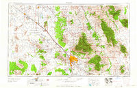
1959 · Tucson
USGS Topo · 1:250,000