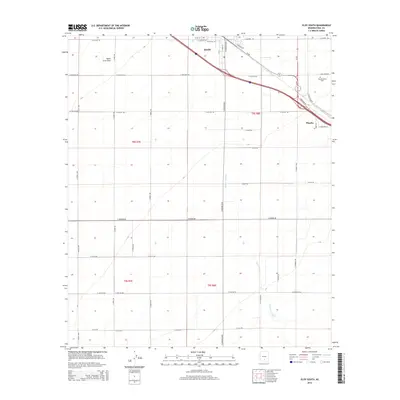
2014 Map of Eloy South
USGS Topo · Published 2014About this map
Eloy and the surrounding desert plains of the Santa Cruz Flats define this mid-2010s landscape in Pinal County. The map documents a critical transportation junction where Az-84 and Az-87 converge near the community of Picacho, paralleling the major interstate corridor. While the urban footprint of Eloy occupies the northern edge, the majority of the area is characterized by a precise grid of rural roads such as S Sunshine Blvd and S Toltec Hwy, which serve the agricultural and industrial parcels south of the city.
Find a feature on this map
44 named features on this map. Tap any name to fly to it.
Don’t see what you’re looking for? This feature index may not catch every label — zoom into the map to look around manually.
Map Details
Editions of this 2014 Eloy South Map
This is the sole edition of this map. No revisions or reprints were ever made.
Other maps of this area
1922 · Red Rock No 2
USGS Topo · 1:48,000
1922 · Signal Peak
USGS Topo · 1:62,500
1924 · Signal Peak
USGS Topo · 1:62,500
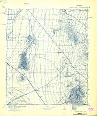
1934 · Newman Peak
USGS Topo · 1:125,000
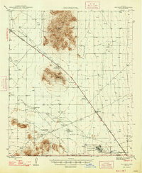
1947 · Red Rock
USGS Topo · 1:62,500
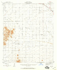
1947 · Eloy
USGS Topo · 1:62,500
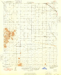
1948 · Eloy
USGS Topo · 1:62,500

1956 · Tucson
USGS Topo · 1:250,000
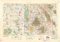
1958 · Tucson
USGS Topo · 1:250,000
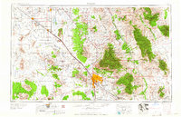
1959 · Tucson
USGS Topo · 1:250,000