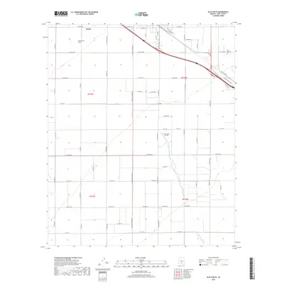
2018 Map of Eloy South
USGS Topo · Published 2018About this map
Santa Cruz Flats define the level topography of this agricultural and desert landscape in Pinal County. The southern extent of Eloy appears in the northern section of the map, where a precise grid of residential streets like S Penn St and S D St gives way to expansive section lines. The Eloy Memorial Park serves as a significant local landmark near the junction of E Picacho Blvd and the interstate corridor. The ephemeral Santa Cruz River winds through the eastern half of the quadrangle, flanked by specialized infrastructure such as the Elooy Farms Airstrip. This 2018 survey illustrates the transition from organized municipal blocks to the wide-reaching rural roads that facilitate the region's ranching and farming operations.
Find a feature on this map
50 named features on this map. Tap any name to fly to it.
Don’t see what you’re looking for? This feature index may not catch every label — zoom into the map to look around manually.
Map Details
Editions of this 2018 Eloy South Map
This is the sole edition of this map. No revisions or reprints were ever made.
Other maps of this area
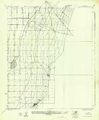
1922 · Red Rock No 2
USGS Topo · 1:48,000
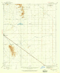
1922 · Signal Peak
USGS Topo · 1:62,500
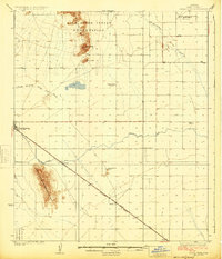
1924 · Signal Peak
USGS Topo · 1:62,500
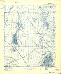
1934 · Newman Peak
USGS Topo · 1:125,000
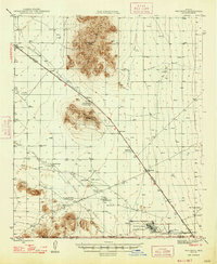
1947 · Red Rock
USGS Topo · 1:62,500
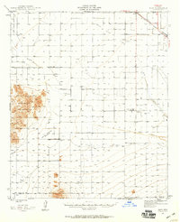
1947 · Eloy
USGS Topo · 1:62,500
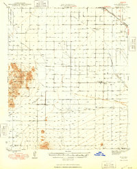
1948 · Eloy
USGS Topo · 1:62,500

1956 · Tucson
USGS Topo · 1:250,000
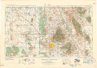
1958 · Tucson
USGS Topo · 1:250,000
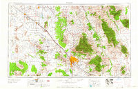
1959 · Tucson
USGS Topo · 1:250,000