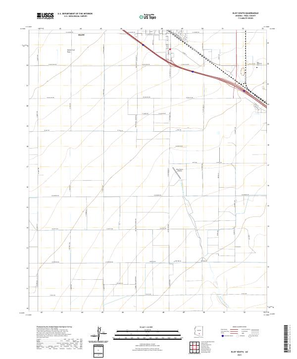
2021 Map of Eloy South
USGS Topo · Published 2021About this map
Eloy serves as the focal point for this desert landscape, situated at the edge of the expansive Santa Cruz Flats in Pinal County. The area reflects a systematic grid of roads and agricultural infrastructure, where the Santa Cruz River cuts a winding path across the township sections. Transportation and local utility are central to the landscape, with landmarks like the Eloy Farms Airstrip and Eloy Memorial Park punctuating the rural terrain. The heavy reliance on a precise road network is evident in the prominence of thoroughfares such as Eleven Mile Corner Rd and S Sunshine Blvd, which facilitate movement between the cultivated fields and the growing town center. This survey captures a moment of modern development where desert floor meets irrigation and planned settlement.
Find a feature on this map
49 named features on this map. Tap any name to fly to it.
Don’t see what you’re looking for? This feature index may not catch every label — zoom into the map to look around manually.
Map Details
Editions of this 2021 Eloy South Map
This is the sole edition of this map. No revisions or reprints were ever made.
Other maps of this area

1922 · Red Rock No 2
USGS Topo · 1:48,000

1922 · Signal Peak
USGS Topo · 1:62,500

1924 · Signal Peak
USGS Topo · 1:62,500

1934 · Newman Peak
USGS Topo · 1:125,000

1947 · Red Rock
USGS Topo · 1:62,500

1947 · Eloy
USGS Topo · 1:62,500

1948 · Eloy
USGS Topo · 1:62,500

1956 · Tucson
USGS Topo · 1:250,000

1958 · Tucson
USGS Topo · 1:250,000

1959 · Tucson
USGS Topo · 1:250,000