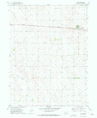
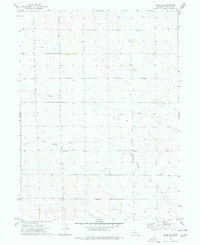
1973 Map of Elsie
USGS Topo · Published 1977About this map
The village of Elsie serves as the primary hub in this southwestern Nebraska landscape, situated along the Burlington Northern railroad. The terrain is defined by the ephemeral drainage of Stinking Water Creek, which meanders through the southern half of the quadrangle. As a snapshot of the region in the early 1970s, the map illustrates an economy tied to both the railway and local extraction, evidenced by a Sandpit located just west of the town center. Numerous wells are scattered across the surrounding sections, highlighting the essential role of groundwater management in this high-plains agricultural environment. The town itself is compactly plotted adjacent to the rail line, with its grain elevators and infrastructure marking the focal point of the area.
Find a feature on this map
5 named features on this map. Tap any name to fly to it.
Don’t see what you’re looking for? This feature index may not catch every label — zoom into the map to look around manually.
Map Details
Editions of this 1973 Elsie Map
This is the sole edition of this map. No revisions or reprints were ever made.
Other maps of this area

1954 · McCook
USGS Topo · 1:250,000

1957 · McCook
USGS Topo · 1:250,000

1958 · McCook
USGS Topo · 1:250,000
1973 · Grainton
USGS Topo · 1:24,000
1973 · Grant NE
USGS Topo · 1:24,000

1973 · Imperial NE
USGS Topo · 1:24,000

1973 · Dittons Creek NE
USGS Topo · 1:24,000
1973 · Elsie NW
USGS Topo · 1:24,000

1973 · Dittons Creek NW
USGS Topo · 1:24,000
1973 · Elsie NE
USGS Topo · 1:24,000