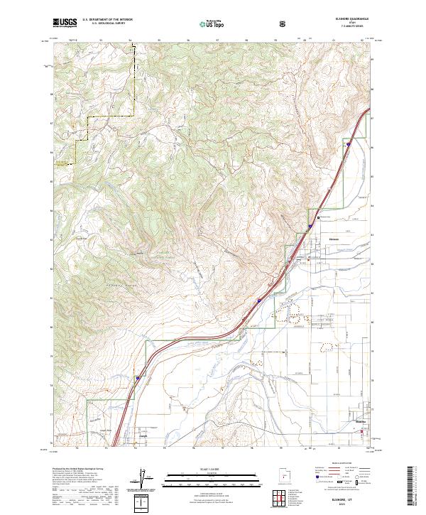
2023 Map of Elsinore
USGS Topo · Published 2023About this map
Elsinore sits at the intersection of a complex irrigation network and the steep eastern slopes of the Pahvant Range. This modern survey details a landscape defined by water management, where the Sevier River is paralleled by the Sevier Valley Canal, Brooklyn Canal, and Richfield Canal to support the agricultural valley. The presence of Sugar Beet Ln points to the area's agrarian heritage, while the town of Joseph and the Joseph Flats occupy the southern portion of the quadrangle. To the west, the Fishlake National Forest covers high-altitude terrain marked by numerous canyons and named trails such as the Paiute (D-1) Trl and Albinus Canyon. This map provides a precise view of the interface between the high forest trails and the settled river valley, including the Elsinore Cem and the route of Old Hwy 89.
Find a feature on this map
58 named features on this map. Tap any name to fly to it.
Don’t see what you’re looking for? This feature index may not catch every label — zoom into the map to look around manually.
Map Details
Editions of this 2023 Elsinore Map
This is the sole edition of this map. No revisions or reprints were ever made.
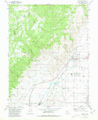
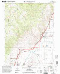
Historical Maps of Joseph Through Time
3 maps found