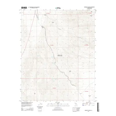
2015 Map of Emigrant Canyon
USGS Topo · Published 2015About this map
Death Valley National Park encompasses this high-altitude desert terrain, dominated by the northern reaches of the Panamint Range. The landscape is defined by the winding descent of Emigrant Canyon Rd through its namesake canyon, a critical corridor for travelers seeking water in an arid environment. A remarkable concentration of water sources, including Jayhawker Spring, Emigrant Spring, and Malapi Spring, indicates the historical importance of this route for early desert crossings. High peaks like Tucki Mtn and Pinto Peak tower over the drainage systems. To the east, the presence of Tucki Mine Rd and Skidoo Rd leading toward Harrisburg Flats highlights the era of remote mining exploration that once thrived in these isolated mountains, while natural landmarks like Telephone Arch characterize the geology of the Mojave Desert floor.
Find a feature on this map
29 named features on this map. Tap any name to fly to it.
Don’t see what you’re looking for? This feature index may not catch every label — zoom into the map to look around manually.
Map Details
Editions of this 2015 Emigrant Canyon Map
This is the sole edition of this map. No revisions or reprints were ever made.
Other maps of this area

1908 · Ballarat
USGS Topo · 1:250,000

1913 · Ballarat
USGS Topo · 1:250,000

1948 · Death Valley
USGS Topo · 1:250,000
1951 · Panamint Butte
USGS Topo · 1:62,500
1951 · Marble Canyon
USGS Topo · 1:62,500
1952 · Stovepipe Wells
USGS Topo · 1:62,500
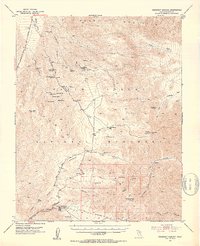
1952 · Emigrant Canyon
USGS Topo · 1:62,500

1954 · Death Valley
USGS Topo · 1:250,000

1956 · Death Valley
USGS Topo · 1:250,000
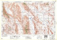
1957 · Death Valley
USGS Topo · 1:250,000