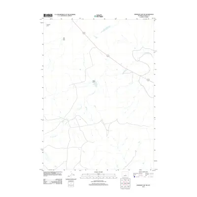
2012 Map of Emigrant Gap NW
USGS Topo · Published 2012About this map
S Fork Casper Cr defines the drainage patterns of this high-plains landscape in Natrona County. This 2012 survey shows a sparsely populated region marked by long-standing geographical landmarks such as Clarks Gulch and Hot Springs. The land is dissected by intermittent watercourses like Haystack Draw and Jack Allen Draw, reflecting the arid character of the Wyoming interior. While modern transportation corridors have been established across the terrain, the underlying topography remains the primary feature, revealing how water and relief dictate the placement of roads and property boundaries in the western United States. The map's detail provides a look at the natural features that have guided local navigation and land use for generations.
Find a feature on this map
5 named features on this map. Tap any name to fly to it.
Don’t see what you’re looking for? This feature index may not catch every label — zoom into the map to look around manually.
Map Details
Editions of this 2012 Emigrant Gap NW Map
This is the sole edition of this map. No revisions or reprints were ever made.
Other maps of this area
1950 · Emigrant Gap
USGS Topo · 1:24,000
1950 · Emigrant Gap NE
USGS Topo · 1:24,000
1951 · Oil Mountain
USGS Topo · 1:24,000
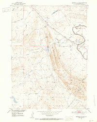
1951 · Emigrant Gap NW
USGS Topo · 1:24,000
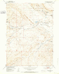
1951 · Poison Spider
USGS Topo · 1:24,000
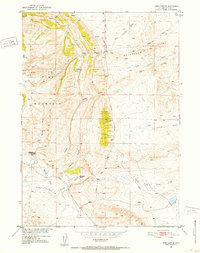
1951 · Reid Canyon
USGS Topo · 1:24,000

1955 · Arminto
USGS Topo · 1:250,000

1955 · Casper
USGS Topo · 1:250,000

1958 · Casper
USGS Topo · 1:250,000

1958 · Arminto
USGS Topo · 1:250,000