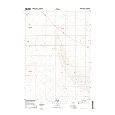
2015 Map of Emigrant Gap NW
USGS Topo · Published 2015About this map
Emigrant Gap Ridge dominates this Natrona County landscape, serving as a prominent geographical backbone between various drainage basins and dry gulches. The terrain is defined by its water management systems, including the Casper Canal and a series of high-desert catchments such as Number 1 Reservoir and Box C Reservoir. A unique aviation landmark, the American Falconry Airport, sits in the southern portion of the quadrangle, reflecting specialized modern use of the open Wyoming plains.
Find a feature on this map
20 named features on this map. Tap any name to fly to it.
Don’t see what you’re looking for? This feature index may not catch every label — zoom into the map to look around manually.
Map Details
Editions of this 2015 Emigrant Gap NW Map
This is the sole edition of this map. No revisions or reprints were ever made.
Other maps of this area
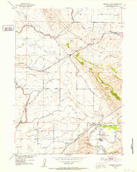
1950 · Emigrant Gap
USGS Topo · 1:24,000
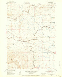
1950 · Emigrant Gap NE
USGS Topo · 1:24,000
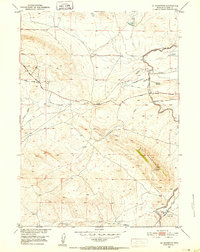
1951 · Oil Mountain
USGS Topo · 1:24,000
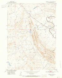
1951 · Emigrant Gap NW
USGS Topo · 1:24,000
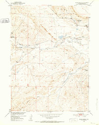
1951 · Poison Spider
USGS Topo · 1:24,000
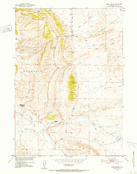
1951 · Reid Canyon
USGS Topo · 1:24,000

1955 · Arminto
USGS Topo · 1:250,000

1955 · Casper
USGS Topo · 1:250,000

1958 · Casper
USGS Topo · 1:250,000

1958 · Arminto
USGS Topo · 1:250,000