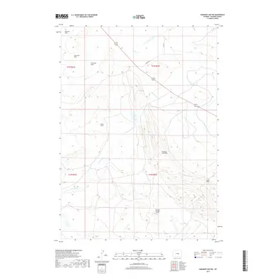
2017 Map of Emigrant Gap NW
USGS Topo · Published 2017About this map
Emigrant Gap Ridge dominates this Natrona County landscape, where the high desert terrain is carved by a complex network of seasonal drainages and irrigation infrastructure. The Casper Canal winds through the eastern portion of the area, illustrating the engineering required to support agricultural interests in this arid environment. Significant topographical features like Pedros Pass and Tie Bridge Gulch suggest early travel routes through the uplift, while the presence of the American Falconry Airport indicates specialized modern aviation uses of the high plains. Water remains the primary shaper of the land, seen in the winding course of the S Fork Casper Cr and the secluded Hot Springs found near Tudor Draw.
Find a feature on this map
16 named features on this map. Tap any name to fly to it.
Don’t see what you’re looking for? This feature index may not catch every label — zoom into the map to look around manually.
Map Details
Editions of this 2017 Emigrant Gap NW Map
This is the sole edition of this map. No revisions or reprints were ever made.
Other maps of this area
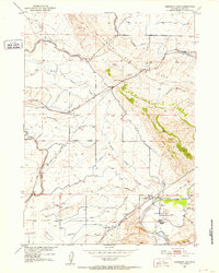
1950 · Emigrant Gap
USGS Topo · 1:24,000
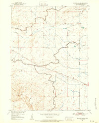
1950 · Emigrant Gap NE
USGS Topo · 1:24,000
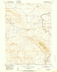
1951 · Oil Mountain
USGS Topo · 1:24,000
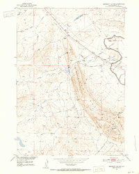
1951 · Emigrant Gap NW
USGS Topo · 1:24,000
1951 · Poison Spider
USGS Topo · 1:24,000
1951 · Reid Canyon
USGS Topo · 1:24,000

1955 · Arminto
USGS Topo · 1:250,000

1955 · Casper
USGS Topo · 1:250,000

1958 · Casper
USGS Topo · 1:250,000

1958 · Arminto
USGS Topo · 1:250,000