Loading...
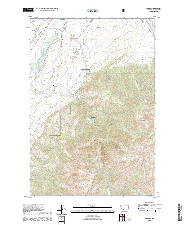
Loading map...2024 Map of Emigrant
USGS Topo · Published 2024About this map
Paradise Valley serves as the central corridor for this mountain landscape, where the Yellowstone River flows past the foothills of the Absaroka Range. Modern infrastructure follows the path of the river, with E River Rd and Murphy Ln connecting the small settlements of Emigrant and Pray. The area is defined by its transition from the valley floor to the high peaks of the Gallatin National Forest, including the prominent Emigrant Peak and Chico Peak.
Find a feature on this map
56 named features on this map. Tap any name to fly to it.
Don’t see what you’re looking for? This feature index may not catch every label — zoom into the map to look around manually.
Map Details
Date Portrayed2024
Date Published2024
PublisherU.S. Geological Survey
Map TypeTopographic
Scale1:24000
Physical Dimensions24 x 29 inches
Editions of this 2024 Emigrant Map
This is the sole edition of this map. No revisions or reprints were ever made.
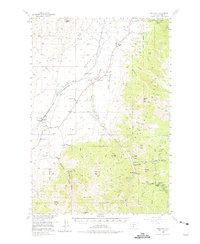
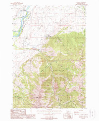
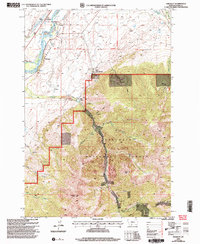
Historical Maps of Chico Through Time
4 maps found
Featured Locations
Source Details
SourceU.S. Geological Survey
CopyrightPublic Domain