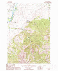
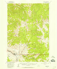
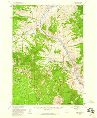
1988 Map of Emigrant
USGS Topo · Published 1988About this map
Paradise Valley serves as a stark topographical divide in this late twentieth-century study, where the lush floor of the Yellowstone River meets the steep, mine-scarred slopes of the Gallatin National Forest. The settlement pattern centers around the community of Emigrant and the iconic Chico Hot Springs, reflecting the region's long-standing draw as both a transit corridor and a recreational destination.
Find a feature on this map
27 named features on this map. Tap any name to fly to it.
Don’t see what you’re looking for? This feature index may not catch every label — zoom into the map to look around manually.
Map Details
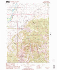
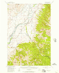
Editions of this 1988 Emigrant Map
2 editions found
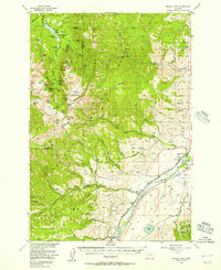
Other maps of this area

1891 · Livingston
USGS Topo · 1:250,000

1893 · Livingston
USGS Topo · 1:250,000

1947 · Bozeman
USGS Topo · 1:250,000

1948 · Bozeman
USGS Topo · 1:250,000

1955 · Bozeman
USGS Topo · 1:250,000
1955 · Emigrant
USGS Topo · 1:62,500
1955 · Fridley Peak
USGS Topo · 1:62,500
1955 · Gardiner
USGS Topo · 1:62,500
1955 · Miner
USGS Topo · 1:62,500

1958 · Bozeman
USGS Topo · 1:250,000