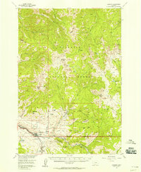
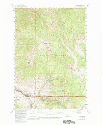
1955 Map of Gardiner
USGS Topo · Published 1958About this map
The North Entrance of Yellowstone National Park defines the southern boundary of this mid-century survey, where the Northern Pacific railroad terminates at Gardiner. This area serves as a critical transition between the high-altitude wilderness of the Gallatin National Forest and the nascent park infrastructure of the 1950s. The settlement of Jardine sits tucked into the mountains to the northeast, connected by rugged terrain to landmarks like Mineral Hill and Palmer Mountain.
Find a feature on this map
67 named features on this map. Tap any name to fly to it.
Don’t see what you’re looking for? This feature index may not catch every label — zoom into the map to look around manually.
Map Details
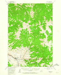
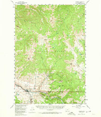
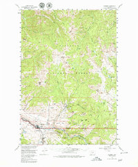
Editions of this 1955 Gardiner Map
5 editions found
Other maps of this area

1885 · Gallatin
USGS Topo · 1:125,000

1885 · Gallatin
USGS Topo · 1:125,000

1886 · Canyon
USGS Topo · 1:125,000

1891 · Livingston
USGS Topo · 1:250,000

1893 · Livingston
USGS Topo · 1:250,000

1895 · Canyon
USGS Topo · 1:125,000

1896 · Canyon
USGS Topo · 1:125,000

1901 · Canyon
USGS Topo · 1:125,000

1901 · Gallatin
USGS Topo · 1:125,000

1907 · Canyon
USGS Topo · 1:125,000