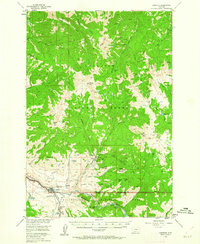
1955 Map of Gardiner
USGS Topo · Published 1962About this map
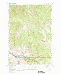
Gardiner serves as the gateway to the high wilderness of southern Montana in the mid-1950s, situated at the confluence where the Yellowstone River emerges from the Black Canyon of the Yellowstone River. The landscape is dominated by the complex drainage systems of the Gallatin National Forest, where numerous named forks such as North Fork Emigrant Creek and North Fork Cedar Creek carve through the steep terrain. To the northeast, the settlement of Jardine sits tucked away near Palmer Creek, while high-altitude water bodies like Casey Lake and the Pine Lakes are scattered across the alpine basins.
Find a feature on this map
22 named features on this map. Tap any name to fly to it.
Don’t see what you’re looking for? This feature index may not catch every label — zoom into the map to look around manually.
Map Details
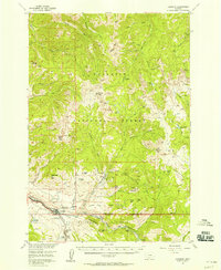
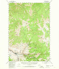
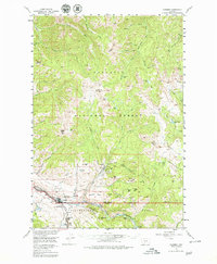
Editions of this 1955 Gardiner Map
5 editions found
Other maps of this area

1885 · Gallatin
USGS Topo · 1:125,000

1885 · Gallatin
USGS Topo · 1:125,000

1886 · Canyon
USGS Topo · 1:125,000

1891 · Livingston
USGS Topo · 1:250,000

1893 · Livingston
USGS Topo · 1:250,000

1895 · Canyon
USGS Topo · 1:125,000

1896 · Canyon
USGS Topo · 1:125,000

1901 · Canyon
USGS Topo · 1:125,000

1901 · Gallatin
USGS Topo · 1:125,000

1907 · Canyon
USGS Topo · 1:125,000