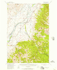
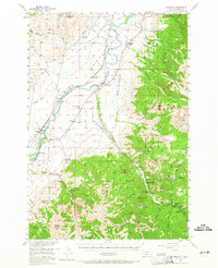
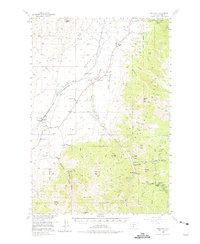
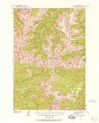
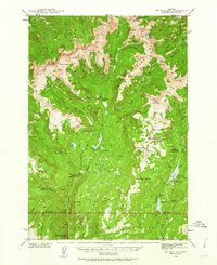
1955 Map of Emigrant
USGS Topo · Published 1957About this map
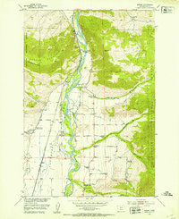
Paradise Valley serves as a corridor of transit and settlement in the mid-1950s, anchored by the Yellowstone River and the Northern Pacific Railroad. This survey reveals a landscape in transition, where earlier rural infrastructure like the Nesbit Sch (Aband) and School (Aband) near Emigrant are already marked as defunct. The economy appears tied to both natural resources and the nascent tourism industry, evidenced by the State Fish Hatchery and the established Chico Hot Springs resort. To the east, the terrain rises sharply toward Emigrant Peak, where extractive history is visible at the Barbara Ann Mine and a Placer Mine in Emigrant Gulch. This map also documents communal spaces like Luccock Park, while also noting the remains of White City, suggesting the shifting fortunes of the region's mining and agriculture.
Find a feature on this map
67 named features on this map. Tap any name to fly to it.
Don’t see what you’re looking for? This feature index may not catch every label — zoom into the map to look around manually.
Map Details
Editions of this 1955 Emigrant Map
3 editions found
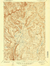
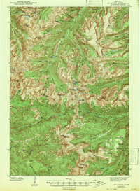
Other maps of this area

1891 · Livingston
USGS Topo · 1:250,000

1893 · Livingston
USGS Topo · 1:250,000
1940 · Mt. Cowen
USGS Topo · 1:62,500
1940 · Mt Wallace
USGS Topo · 1:62,500
1943 · Mt Wallace
USGS Topo · 1:62,500
1943 · Mt Cowen
USGS Topo · 1:62,500

1947 · Bozeman
USGS Topo · 1:250,000

1948 · Bozeman
USGS Topo · 1:250,000
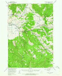
1951 · Bozeman Pass
USGS Topo · 1:62,500
1951 · Brisbin
USGS Topo · 1:24,000