
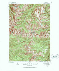
1940 Map of Mt. Cowen
USGS Topo · Published 1958About this map
Gallatin National Forest dominates this high-altitude landscape surveyed just before the 1940s by J. L. Lewis and F. H. Purdy. The map captures a wilderness defined by dramatic verticality, where the Boulder River cuts through the center of the sheet, fed by a dense network of glacial drainage. High peaks such as Mt Cowen, Black Mtn, and The Pyramid provide the primary landmarks for this backcountry terrain.
Find a feature on this map
63 named features on this map. Tap any name to fly to it.
Don’t see what you’re looking for? This feature index may not catch every label — zoom into the map to look around manually.
Map Details
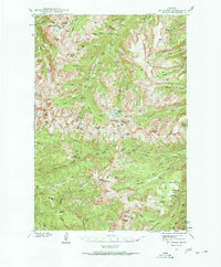
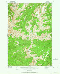
Editions of this 1940 Mt. Cowen Map
4 editions found
Other maps of this area

1891 · Livingston
USGS Topo · 1:250,000

1893 · Livingston
USGS Topo · 1:250,000

1940 · Mt Wallace
USGS Topo · 1:62,500

1941 · Mt Douglas
USGS Topo · 1:62,500

1942 · Cutoff Mtn
USGS Topo · 1:62,500

1943 · Mt Wallace
USGS Topo · 1:62,500

1943 · Mt Douglas
USGS Topo · 1:62,500

1943 · Mt Cowen
USGS Topo · 1:62,500

1944 · Cutoff Mtn
USGS Topo · 1:62,500

1947 · Bozeman
USGS Topo · 1:250,000