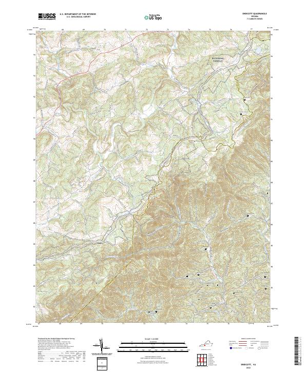
2022 Map of Endicott
USGS Topo · Published 2022About this map
The boundary between Floyd and Franklin Counties cuts across this high-elevation terrain, where the headwaters of several major waterways begin their descent. The Blue Ridge Parkway winds through the northern and central sections of the quadrangle, passing through land marked by family legacies and small rural settlements. Near the community of Endicott, the map reveals a dense concentration of family burial grounds, including the Ingram Family Cemetery, McAlexander Cemetery, and Scott Cemetery, which are vital for genealogical research in this part of Virginia.
Find a feature on this map
100 named features on this map. Tap any name to fly to it.
Don’t see what you’re looking for? This feature index may not catch every label — zoom into the map to look around manually.
Map Details
Editions of this 2022 Endicott Map
This is the sole edition of this map. No revisions or reprints were ever made.
Other maps of this area

1890 · Christiansburg
USGS Topo · 1:125,000

1932 · Blacksburg
USGS Topo · 1:48,000

1937 · Blacksburg
USGS Topo · 1:62,500

1950 · Elliston
USGS Topo · 1:62,500

1953 · Winston-Salem
USGS Topo · 1:250,000

1955 · Bluefield
USGS Topo · 1:250,000

1955 · Winston-Salem
USGS Topo · 1:250,000

1957 · Endicott
USGS Topo · 1:62,500

1957 · Floyd
USGS Topo · 1:62,500

1957 · Bluefield
USGS Topo · 1:250,000