Loading...
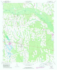
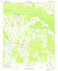
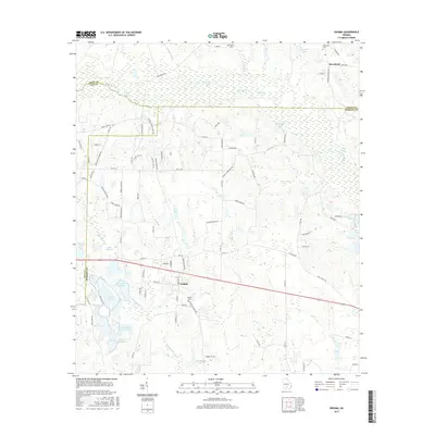
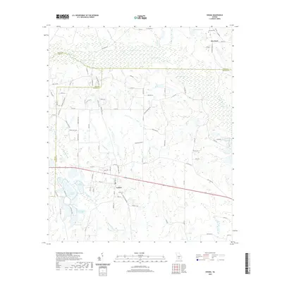
Loading map...1973 Map of Enigma
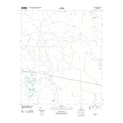
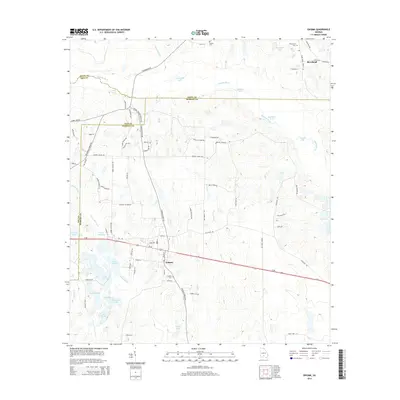
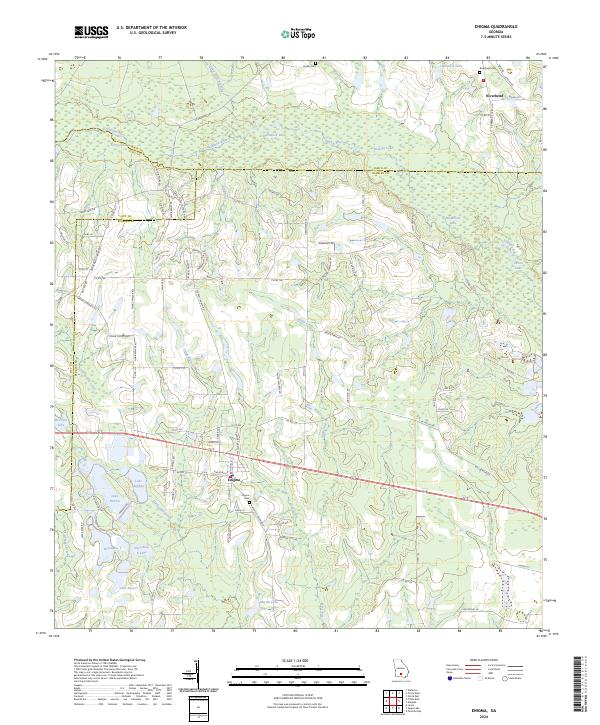
USGS Topo · Published 1988About this map
Enigma serves as the central hub of this Georgia coastal plain landscape, situated at the junction of several county lines where Berrien, Tift, and Irwin meet. The town's grid is defined by its proximity to Route 82, while the surrounding terrain is a complex network of wetlands and small water bodies. The Alapaha River snakes across the northern sections, feeding a series of named lakes such as Ferry Lake and Dominy Lake.
Find a feature on this map
27 named features on this map. Tap any name to fly to it.
Don’t see what you’re looking for? This feature index may not catch every label — zoom into the map to look around manually.
Map Details
Date Portrayed1973
Date Published1988
PublisherU.S. Geological Survey
Map TypeTopographic
Scale1:24,000
Physical Dimensions22 x 26.9 inches
Editions of this 1973 Enigma Map
2 editions found
Historical Maps of Enigma Through Time
6 maps found
Featured Locations
Source Details
SourceU.S. Geological Survey
CopyrightPublic Domain