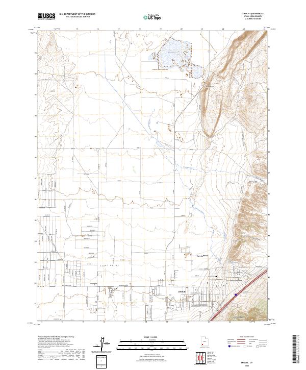
2023 Map of Enoch
USGS Topo · Published 2023About this map
Enoch anchors this 2023 survey of the northern Cedar Valley, where residential expansion meets the high desert landscape of the Hurricane Cliffs. The map details the modern suburban footprint of the community, which evolved from early Mormon pioneer origins, symbolized by the landmark Fort Johnson. To the east, the terrain rises sharply into the complex topography of Clarks Canyon and Winn Hollow, while the north is defined by the seasonal expanse of Rush Lake. This modern record allows for a precise comparison of current road networks, such as Homestead Blvd, against long-standing geographic features like Black Point and the drainage of Johnson Creek. Genealogists and local historians can use the placement of the Enoch Cem and preserved historical sites to trace the spatial growth of the settlement relative to its surrounding natural springs and valleys.
Find a feature on this map
53 named features on this map. Tap any name to fly to it.
Don’t see what you’re looking for? This feature index may not catch every label — zoom into the map to look around manually.
Map Details
Editions of this 2023 Enoch Map
This is the sole edition of this map. No revisions or reprints were ever made.