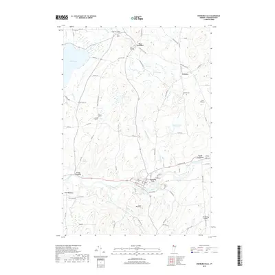
2018 Map of Enosburg Falls
USGS Topo · Published 2018About this map
Enosburg Falls serves as the primary hub of this northern Vermont landscape, situated along a sharp bend of the Missisquoi River. The village layout is defined by its historic core near the Main Street Cem and the proximity to the Enosburg Falls Reservoir. To the north, the terrain transitions into a patchwork of rural townships including West Berkshire, East Franklin, and Berkshire, each anchored by local burial grounds like the Stevens Ferry Cem and Berkshire Cem. The western edge is dominated by Lake Carmi, while the southeastern portion rises toward the Green Mountains and the distinct peak of Little Pinnacle. The network of roads, such as Towle Neighborhood Rd and Berkshire Center Rd, suggests a long-standing agricultural and residential pattern connecting these small Franklin County communities.
Find a feature on this map
81 named features on this map. Tap any name to fly to it.
Don’t see what you’re looking for? This feature index may not catch every label — zoom into the map to look around manually.
Map Details
Editions of this 2018 Enosburg Falls Map
This is the sole edition of this map. No revisions or reprints were ever made.
Other maps of this area

1919 · Montgomery
USGS Topo · 1:62,500

1920 · Franklin Pond
USGS Topo · 1:62,500

1920 · Montgomery
USGS Topo · 1:62,500

1922 · Enosburg Falls
USGS Topo · 1:48,000

1924 · Enosburg Falls
USGS Topo · 1:62,500

1925 · Jay Peak
USGS Topo · 1:62,500

1943 · Jay Peak
USGS Topo · 1:62,500

1944 · Enosburg Falls
USGS Topo · 1:62,500

1950 · Lake Champlain
USGS Topo · 1:250,000

1953 · Jay Peak
USGS Topo · 1:62,500