2024 Map of Enosburg Falls
USGS Topo · Published 2024About this map
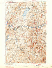
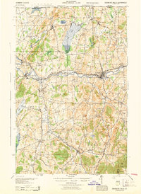
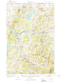
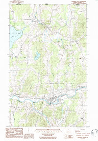
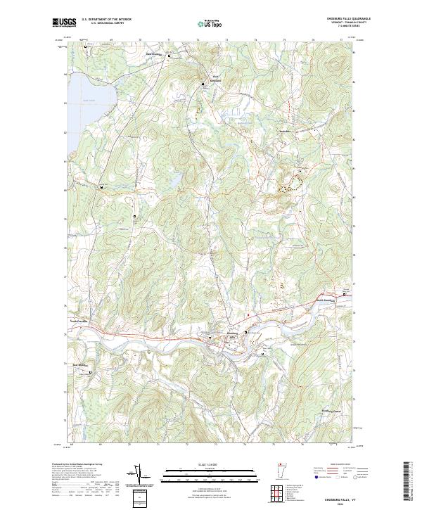
Enosburg Falls serves as the focal point of this northern Vermont landscape, where the Missisquoi River carves a path toward the Green Mountains. The village structure is well-defined by historical burial grounds like the Main Street Cem and Old Catholic Cem, reflecting the local community's growth and genealogy. To the north, the transition to dairy country is marked by small settlements such as West Berkshire and East Franklin, while the western edge of the map is dominated by the waters of Lake Carmi. The transition from industry to recreation is evident in the Missisquoi Valley Rail-Trail, which follows the former rail corridor through the river valley. This geography is defined by its waterways, from the Tyler Branch feeding the larger river system to the Enosburg Falls Reservoir tucked into the rolling hills east of the main town site.
Find a feature on this map
87 named features on this map. Tap any name to fly to it.
Don’t see what you’re looking for? This feature index may not catch every label — zoom into the map to look around manually.
Map Details
Editions of this 2024 Enosburg Falls Map
This is the sole edition of this map. No revisions or reprints were ever made.
Historical Maps of Franklin Through Time
5 maps found