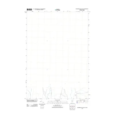
2012 Map of Enosburg Falls OE N
USGS Topo · Published 2012About this map
Pike River meanders through this borderland terrain in northern Franklin County, shaping the rural character of the landscape near the Canadian boundary. The area is defined by its agricultural heritage and a network of traditional thoroughfares, including the well-known Boston Post Rd and W Berkshire Rd. Unlike more densely populated regions, this survey highlights the scattered nature of local landmarks, such as the Burling Farm situated along Ayers Hill Rd.
Find a feature on this map
14 named features on this map. Tap any name to fly to it.
Don’t see what you’re looking for? This feature index may not catch every label — zoom into the map to look around manually.
Map Details
Editions of this 2012 Enosburg Falls OE N Map
This is the sole edition of this map. No revisions or reprints were ever made.
Other maps of this area

1919 · Montgomery
USGS Topo · 1:62,500

1920 · Franklin Pond
USGS Topo · 1:62,500

1920 · Montgomery
USGS Topo · 1:62,500

1922 · Enosburg Falls
USGS Topo · 1:48,000

1924 · Enosburg Falls
USGS Topo · 1:62,500

1925 · Jay Peak
USGS Topo · 1:62,500

1943 · Jay Peak
USGS Topo · 1:62,500

1944 · Enosburg Falls
USGS Topo · 1:62,500

1950 · Lake Champlain
USGS Topo · 1:250,000

1953 · Jay Peak
USGS Topo · 1:62,500