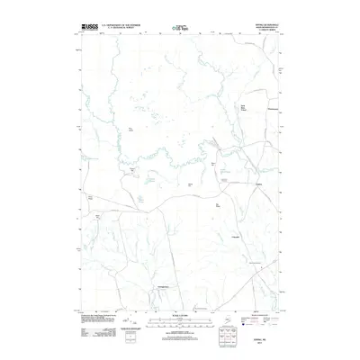
2011 Map of Epping
USGS Topo · Published 2011About this map
The Pleasant River winds through this coastal Maine landscape, connecting small rural centers such as Epping and Columbia in Washington County. This survey highlights a network of small settlements and riverine geography, where the West Branch Pleasant River and Harrington River define the local topography alongside features like Schoodic Lake and Silica Ponds. Local family history is preserved in several community landmarks, including the Mailey Hill Cemetery and Forest Hills Cemetery.
Find a feature on this map
62 named features on this map. Tap any name to fly to it.
Don’t see what you’re looking for? This feature index may not catch every label — zoom into the map to look around manually.
Map Details
Editions of this 2011 Epping Map
This is the sole edition of this map. No revisions or reprints were ever made.
Other maps of this area

1902 · Cherryfield
USGS Topo · 1:62,500

1904 · Cherryfield
USGS Topo · 1:62,500

1921 · Columbia Falls
USGS Topo · 1:62,500

1921 · Columbia Falls
USGS Topo · 1:62,500

1941 · Columbia Falls
USGS Topo · 1:62,500

1941 · Wesley
USGS Topo · 1:62,500

1941 · Tug Mountain
USGS Topo · 1:62,500

1942 · Cherryfield
USGS Topo · 1:62,500

1942 · Columbia Falls
USGS Topo · 1:62,500

1943 · Tug Mountain
USGS Topo · 1:62,500