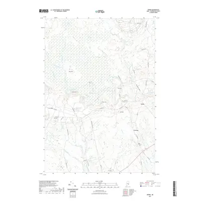
2021 Map of Epping
USGS Topo · Published 2021About this map
The Great Heath and Taylor Branch Swamp dominate the northern landscape of this Washington County survey, illustrating the complex wetland ecosystems of coastal Maine. Water defines the region, with the Pleasant River winding through the center and the Harrington River appearing in the south. These waterways are fed by numerous smaller streams like Dog-Bit Brook and Western Little River, which cut through the glaciated terrain of Pineo Ridge and Pea Ridge.
Find a feature on this map
59 named features on this map. Tap any name to fly to it.
Don’t see what you’re looking for? This feature index may not catch every label — zoom into the map to look around manually.
Map Details
Editions of this 2021 Epping Map
This is the sole edition of this map. No revisions or reprints were ever made.
Other maps of this area

1902 · Cherryfield
USGS Topo · 1:62,500

1904 · Cherryfield
USGS Topo · 1:62,500

1921 · Columbia Falls
USGS Topo · 1:62,500

1921 · Columbia Falls
USGS Topo · 1:62,500

1941 · Columbia Falls
USGS Topo · 1:62,500

1941 · Wesley
USGS Topo · 1:62,500

1941 · Tug Mountain
USGS Topo · 1:62,500

1942 · Cherryfield
USGS Topo · 1:62,500

1942 · Columbia Falls
USGS Topo · 1:62,500

1943 · Tug Mountain
USGS Topo · 1:62,500