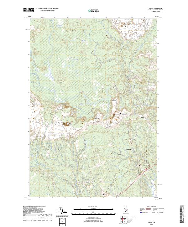
2024 Map of Epping
USGS Topo · Published 2024About this map
Epping and the nearby village of Columbia sit amidst a complex network of coastal wetlands and glacial terrain in Washington County. This modern survey illustrates the persistent interplay between the region's human settlements and its extensive marshlands, including the sprawling Great Heath and the Pigeon Hill Heath. The landscape is defined by elevated features like Pineo Ridge and Pea Ridge which provided stable ground for early roads and homesites above the saturated basins of the Pleasant River and Great Marsh Stream. Several small burial grounds, such as the John F Dorr Family Cem and Mailey Hill Cem, offer critical data points for genealogical research, anchoring family names to specific plots of land. From the freshwater Silica Ponds to the tidal influence suggested by the river systems, this map documents the ecological and social character of Downeast Maine in the early 21st century.
Find a feature on this map
61 named features on this map. Tap any name to fly to it.
Don’t see what you’re looking for? This feature index may not catch every label — zoom into the map to look around manually.
Map Details
Editions of this 2024 Epping Map
This is the sole edition of this map. No revisions or reprints were ever made.
Other maps of this area

1902 · Cherryfield
USGS Topo · 1:62,500

1904 · Cherryfield
USGS Topo · 1:62,500

1921 · Columbia Falls
USGS Topo · 1:62,500

1921 · Columbia Falls
USGS Topo · 1:62,500

1941 · Columbia Falls
USGS Topo · 1:62,500

1941 · Wesley
USGS Topo · 1:62,500

1941 · Tug Mountain
USGS Topo · 1:62,500

1942 · Cherryfield
USGS Topo · 1:62,500

1942 · Columbia Falls
USGS Topo · 1:62,500

1943 · Tug Mountain
USGS Topo · 1:62,500