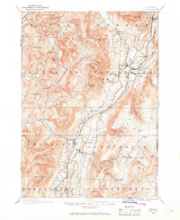
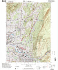
1894 Map of Equinox
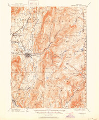
USGS Topo · Published 1968About this map
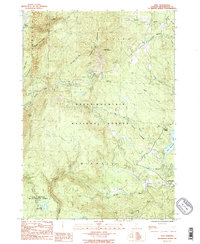
Equinox Mountain and the high ridges of the Green Mountain range dominate this late 19th-century landscape, where valley settlements are linked by the vital tracks of the Bennington and Rutland RR. The map captures a transition point in Vermont commerce, showing the established textile and industrial nodes of Manchester Center and Manchester Depot alongside more remote outposts. Further east, the inclusion of Kelley Stand and the small hamlet of Kansas illustrates the reach of early logging and mountain industries into the dense timberlands.
Find a feature on this map
102 named features on this map. Tap any name to fly to it.
Don’t see what you’re looking for? This feature index may not catch every label — zoom into the map to look around manually.
Map Details
Editions of this 1894 Equinox Map
2 editions found

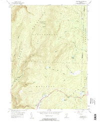
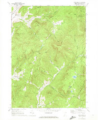
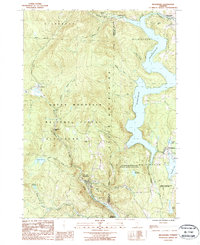
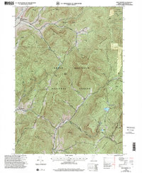
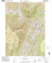
Historical Maps of Manchester Through Time
29 maps found
1894 Equinox
Bennington County, VT

1896 Equinox
Bennington County, VT
1898 Bennington
Bennington County, VT
1900 Equinox
Bennington County, VT
1954 Bennington
Bennington County, VT
1954 Bennington
Bennington County, VT
1954 Woodford
Bennington County, VT
1967 Arlington
Bennington County, VT
1967 West Rupert
Bennington County, VT

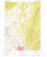
1968 Manchester
Bennington County, VT

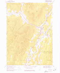
1968 Sunderland
Bennington County, VT
1986 Peru
Bennington County, VT
1987 Readsboro
Bennington County, VT
1995 West Rupert
Bennington County, VT
1997 Arlington
Bennington County, VT
1997 Bennington
Bennington County, VT

1997 Manchester
Bennington County, VT
1997 Peru
Bennington County, VT
1997 Readsboro
Bennington County, VT

1997 Sunderland
Bennington County, VT
1997 Woodford
Bennington County, VT
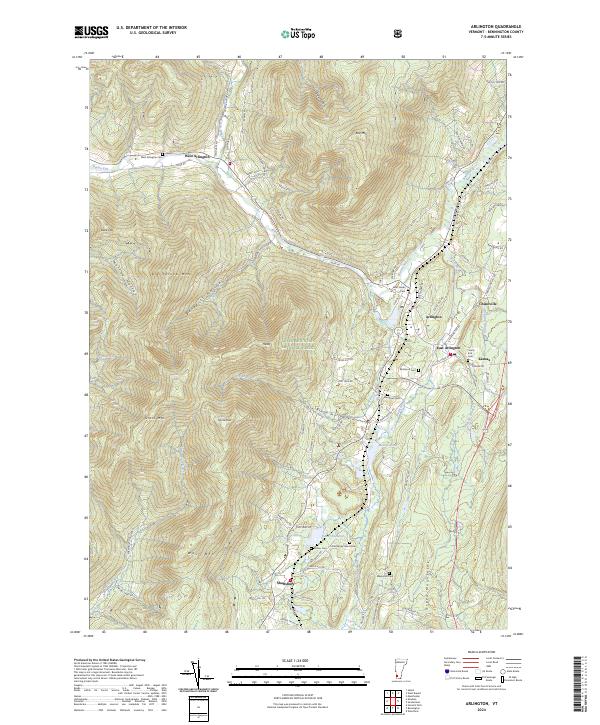
2024 Arlington
Bennington County, VT
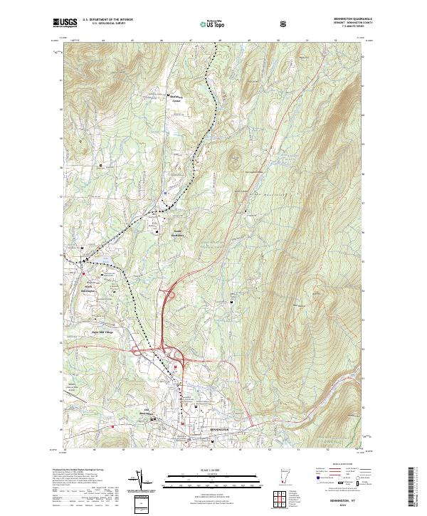
2024 Bennington
Bennington County, VT
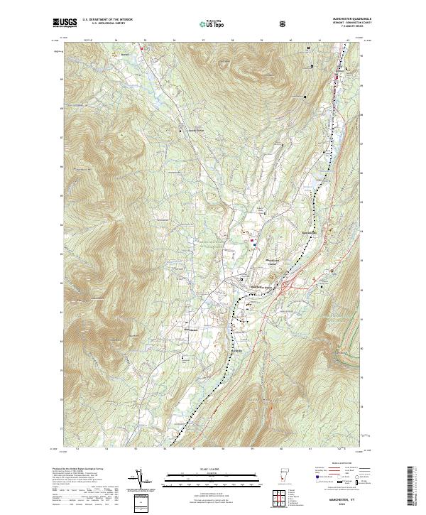
2024 Manchester
Bennington County, VT
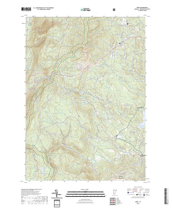
2024 Peru
Bennington County, VT
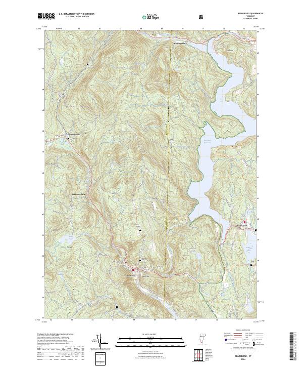
2024 Readsboro
Bennington County, VT
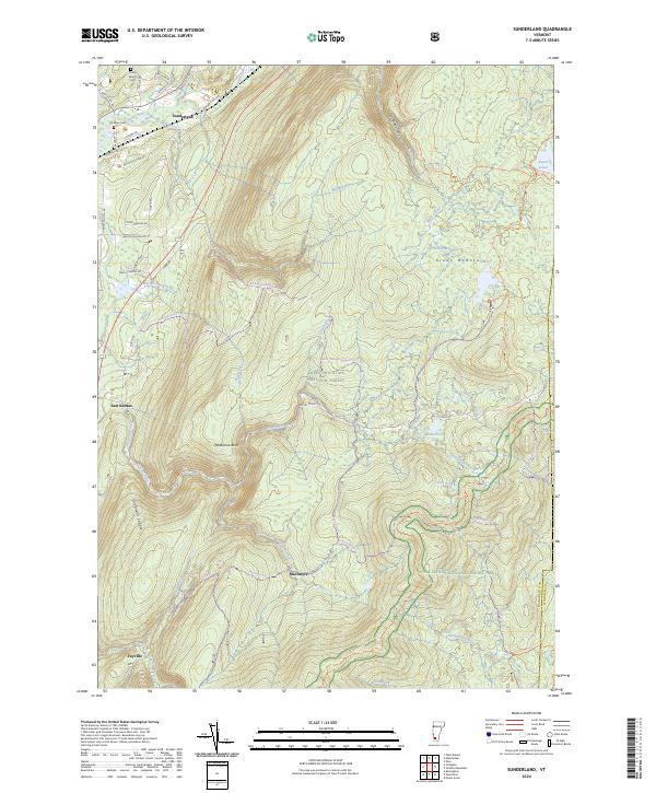
2024 Sunderland
Bennington County, VT
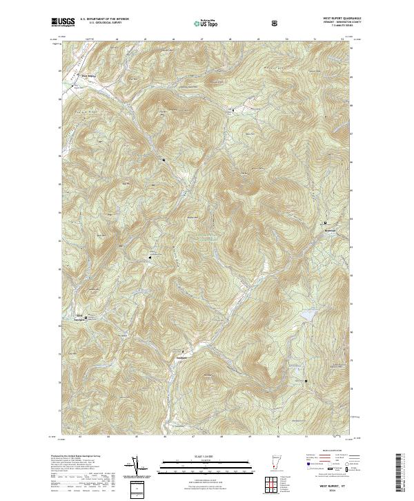
2024 West Rupert
Bennington County, VT
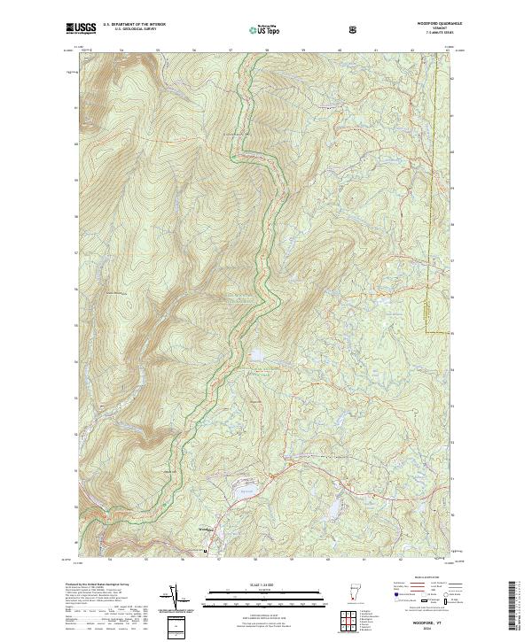
2024 Woodford
Bennington County, VT