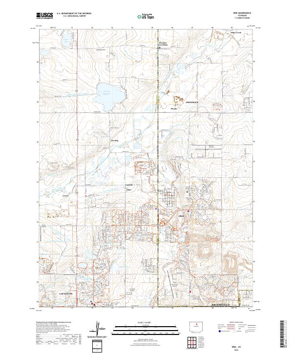
2022 Map of Erie
USGS Topo · Published 2022About this map
The municipal limits of Erie, Frederick, and Lafayette converge in this detailed record of the northern Colorado landscape. The terrain is defined by a dense network of water management features, including the Boulder and Whiterock Ditch, Cottonwood Extension Ditch, and the Highline Lateral Goodhue Ditch, which support the region's agricultural and industrial development. Numerous reservoirs like Panama Reservoir Number 1 and Prince Lake Number Two dot the landscape alongside named peaks such as Standley Hill.
Find a feature on this map
242 named features on this map. Tap any name to fly to it.
Don’t see what you’re looking for? This feature index may not catch every label — zoom into the map to look around manually.
Map Details
Editions of this 2022 Erie Map
This is the sole edition of this map. No revisions or reprints were ever made.
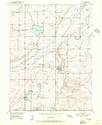
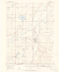
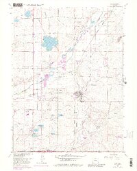
Historical Maps of Frederick Through Time
4 maps found