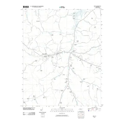
2022 Map of Erin
USGS Topo · Published 2022About this map
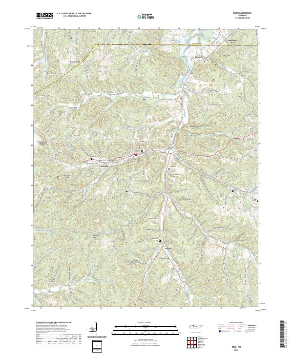
Erin serves as the focal point of this survey, anchored by the Houston County Courthouse and surrounding neighborhoods like Arlington. The landscape is defined by the sharp transition between the Tennessee Ridge and the deeply etched drainage systems of Wells Cr and Erin Br. This terrain dictated a settlement pattern where roads and homes cling to the narrow valley floors and ridges, leaving steep hollows like Wallace Hollow and Slaughter Hollow largely undeveloped. For genealogists, the map is a dense record of family-named landmarks and resting places, including Alsobrooks Cem, Lockhart Cem, and Mcmillian Cem. To the north, the terrain softens near the boundary with Stewart County, where Cumberland City sits near the winding paths of Big Elk Cr and Little Elk Cr.
Find a feature on this map
161 named features on this map. Tap any name to fly to it.
Don’t see what you’re looking for? This feature index may not catch every label — zoom into the map to look around manually.
Map Details
Editions of this 2022 Erin Map
This is the sole edition of this map. No revisions or reprints were ever made.
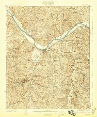
Historical Maps of Erin Through Time
7 maps found