
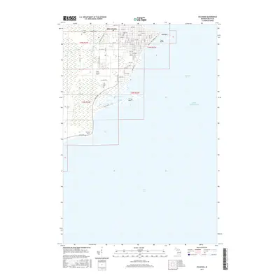
1982 Map of Escanaba
USGS Topo · Published 1982About this map
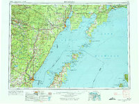
Industrial and timber landscapes define the Upper Peninsula in the early 1980s, where the Chicago and North Western Railroad and Soo Line Railroad converge to serve the iron and wood-pulp economies. The shoreline of Little Bay de Noc is anchored by the hub of Escanaba, while smaller mining and lumber settlements like Vulcan, Norway, and Loretto trace the path of the Sturgeon River and Menominee River.
Find a feature on this map
154 named features on this map. Tap any name to fly to it.
Don’t see what you’re looking for? This feature index may not catch every label — zoom into the map to look around manually.
Map Details
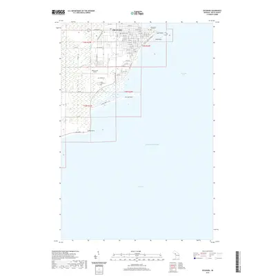
Editions of this 1982 Escanaba Map
This is the sole edition of this map. No revisions or reprints were ever made.
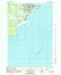
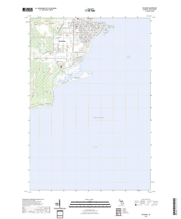
Historical Maps of Escanaba Through Time
11 maps found
1954 Escanaba
Delta County, MI

1957 Escanaba
Delta County, MI

1958 Escanaba
Delta County, MI

1958 Escanaba
Delta County, MI
1982 Escanaba
Delta County, MI
1985 Escanaba
Delta County, MI
2011 Escanaba
Delta County, MI
2014 Escanaba
Delta County, MI
2017 Escanaba
Delta County, MI
2019 Escanaba
Delta County, MI
2023 Escanaba
Delta County, MI