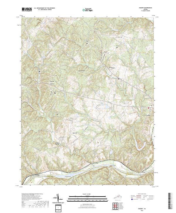
2022 Map of Esmont
USGS Topo · Published 2022About this map
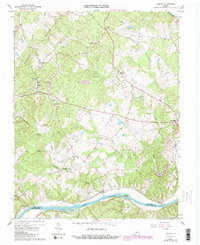
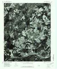
Green Mtn anchors the northern landscape of this region where the James River forms the boundary between Albemarle and Buckingham counties. The area is characterized by a network of rural settlements like Esmont, Keene, and Scottsville, connected by historic routes such as Scottsville Rd and Irish Rd. Numerous family and church burial grounds, including the Van Clief Family Cem and Saint Stephens Cem, are scattered across the terrain, reflecting deep genealogical roots in the Virginia Piedmont.
Find a feature on this map
103 named features on this map. Tap any name to fly to it.
Don’t see what you’re looking for? This feature index may not catch every label — zoom into the map to look around manually.
Map Details
Editions of this 2022 Esmont Map
This is the sole edition of this map. No revisions or reprints were ever made.
Historical Maps of Keene Through Time
3 maps found