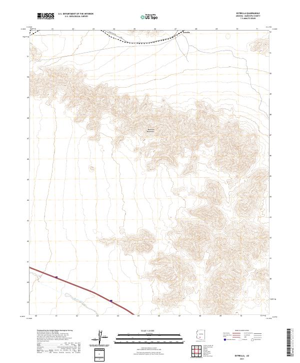
2021 Map of Estrella
USGS Topo · Published 2021About this map
The Maricopa Mountains dominate this high-desert landscape south of the Gila River, defined by complex contour elevations and arid drainage patterns. The small settlement of Estrella sits at the northern edge of the range, serving as a primary point of reference along Maricopa Rd. The terrain is characterized by steep ridges and dry watercourses typical of the Sonoran Desert, including the prominent Bender Wash that cuts through the southwestern section of the quadrangle. This 2021 survey illustrates a region largely defined by its natural topography, where land divisions like t5s r2w and t6s r2w overlay a landscape that remains primarily undeveloped, preserving the original desert character of Maricopa County.
Find a feature on this map
8 named features on this map. Tap any name to fly to it.
Don’t see what you’re looking for? This feature index may not catch every label — zoom into the map to look around manually.
Map Details
Editions of this 2021 Estrella Map
This is the sole edition of this map. No revisions or reprints were ever made.
Other maps of this area

1951 · Estrella
USGS Topo · 1:62,500

1951 · Gila Bend
USGS Topo · 1:62,500

1951 · Mobile
USGS Topo · 1:62,500

1951 · Cotton Center
USGS Topo · 1:62,500

1953 · Ajo
USGS Topo · 1:250,000

1954 · Phoenix
USGS Topo · 1:250,000

1957 · Ajo
USGS Topo · 1:250,000

1957 · Phoenix
USGS Topo · 1:250,000

1958 · Ajo
USGS Topo · 1:250,000

1958 · Phoenix
USGS Topo · 1:250,000