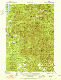
1942 Map of Euchre Mtn
USGS Topo · Published 1942About this map
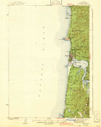
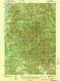
The Siletz River snakes through the southern half of this coastal Oregon terrain, serving as a primary corridor for early 1940s activity. Along its banks, a series of river access points including Melco Landing, Mack Landing, Morgan Landing, and Mowrey Landing indicate the reliance on water transport and fishing in this period. The survey highlights the isolated nature of these hillsides within the Siuslaw National Forest, where named habitations are often single outposts like Horner Ranch, Osterman Cabin, or The Maples.
Find a feature on this map
80 named features on this map. Tap any name to fly to it.
Don’t see what you’re looking for? This feature index may not catch every label — zoom into the map to look around manually.
Map Details
Editions of this 1942 Euchre Mtn Map
This is the sole edition of this map. No revisions or reprints were ever made.
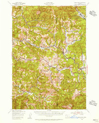
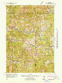
Other maps of this area
1939 · Marys Peak
USGS Topo · 1:62,500

1941 · Nestucca Bay
USGS Topo · 1:62,500
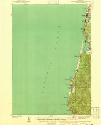
1941 · Cape Foulweather
USGS Topo · 1:62,500
1942 · Marys Peak
USGS Topo · 1:62,500
1942 · Spirit Mtn
USGS Topo · 1:62,500

1942 · Nestucca Bay
USGS Topo · 1:62,500
1942 · Yaquina
USGS Topo · 1:62,500
1942 · Valsetz
USGS Topo · 1:62,500
1942 · Toledo
USGS Topo · 1:62,500
1943 · Euchre Mtn
USGS Topo · 1:62,500