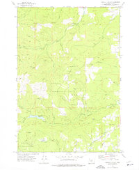
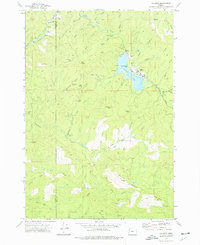
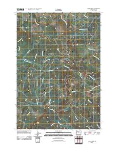
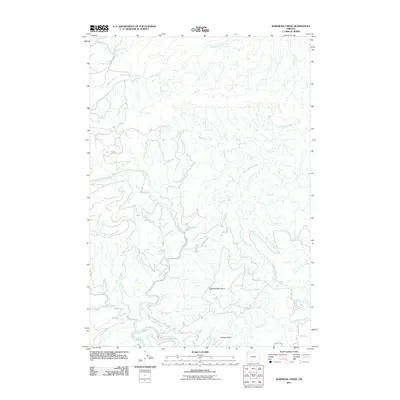
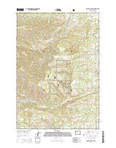
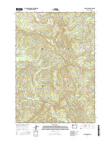
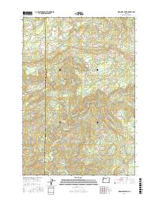
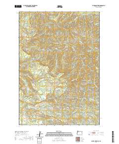
1942 Map of Valsetz
USGS Topo · Published 1942About this map
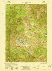
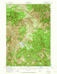
The lumber industry in the central Coast Range is the centerpiece of this 1941 Army Corps of Engineers study. The company town of Valsetz sits at the edge of Valsetz Lake, serving as a hub for the Cobbs-Mitchell Lumber Co and the nearby Willamette Valley Lumber Company operations. This area, located on the border of Polk and Lincoln counties, shows an intricate network of waterways including the North Fork Siletz River and Rickreall Creek that defined the early logging geography of the region.
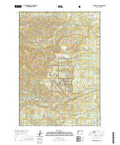
Find a feature on this map
56 named features on this map. Tap any name to fly to it.
Don’t see what you’re looking for? This feature index may not catch every label — zoom into the map to look around manually.
Map Details
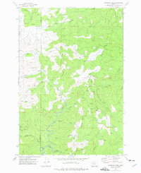
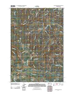
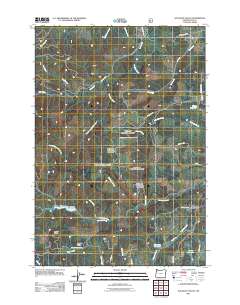
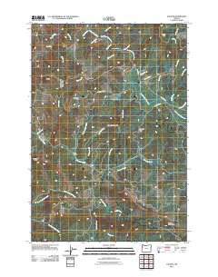
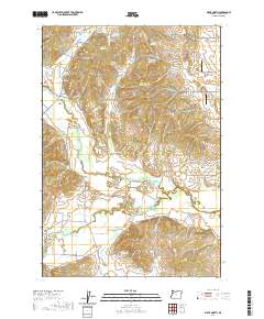
Editions of this 1942 Valsetz Map
This is the sole edition of this map. No revisions or reprints were ever made.
Historical Maps of Polk County Through Time
45 maps found
1922 Airlie
Polk County, OR
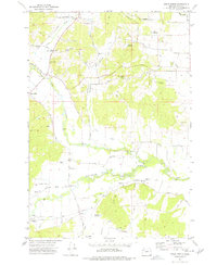
1942 Valsetz
Polk County, OR
1956 Ballston
Polk County, OR
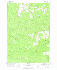
1956 Valsetz
Polk County, OR
1973 Socialist Valley
Polk County, OR
1974 Airlie North
Polk County, OR
1974 Fanno Ridge
Polk County, OR
1974 Laurel Mtn
Polk County, OR
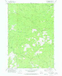
1974 Valsetz
Polk County, OR
1974 Warnicke Creek
Polk County, OR
2011 Airlie North
Polk County, OR
2011 Ballston
Polk County, OR
2011 Fanno Ridge
Polk County, OR
2011 Laurel Mountain
Polk County, OR
2011 Socialist Valley
Polk County, OR
2011 Valsetz
Polk County, OR
2011 Warnicke Creek
Polk County, OR

2014 Airlie North
Polk County, OR
2014 Ballston
Polk County, OR
2014 Fanno Ridge
Polk County, OR
2014 Laurel Mountain
Polk County, OR
2014 Socialist Valley
Polk County, OR
2014 Valsetz
Polk County, OR
2014 Warnicke Creek
Polk County, OR
2017 Airlie North
Polk County, OR

2017 Ballston
Polk County, OR
2017 Fanno Ridge
Polk County, OR
2017 Laurel Mountain
Polk County, OR
2017 Socialist Valley
Polk County, OR
2017 Valsetz
Polk County, OR
2017 Warnicke Creek
Polk County, OR
2020 Airlie North
Polk County, OR
2020 Ballston
Polk County, OR
2020 Fanno Ridge
Polk County, OR
2020 Laurel Mountain
Polk County, OR
2020 Socialist Valley
Polk County, OR
2020 Valsetz
Polk County, OR
2020 Warnicke Creek
Polk County, OR
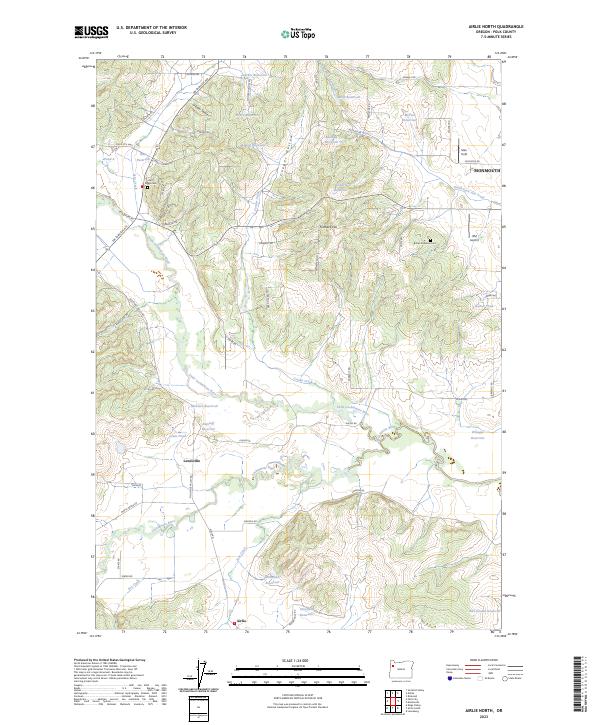
2023 Airlie North
Polk County, OR
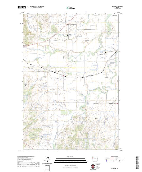
2023 Ballston
Polk County, OR
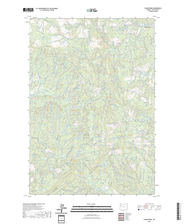
2023 Fanno Ridge
Polk County, OR
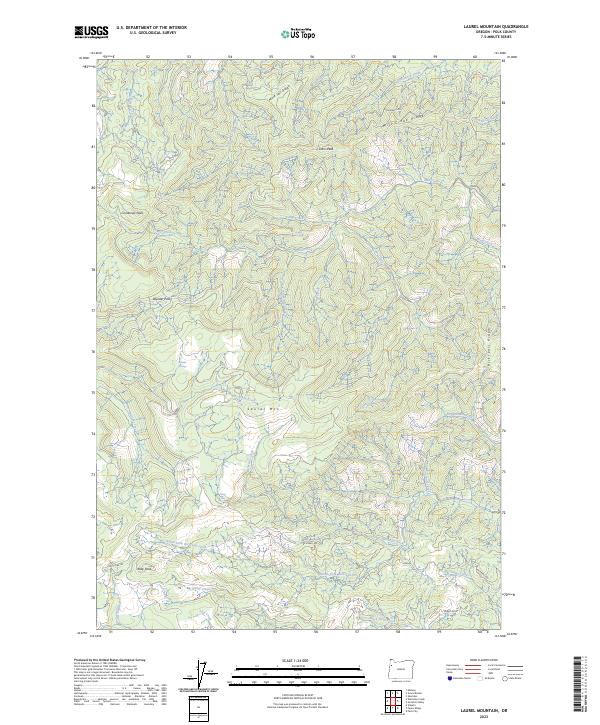
2023 Laurel Mountain
Polk County, OR
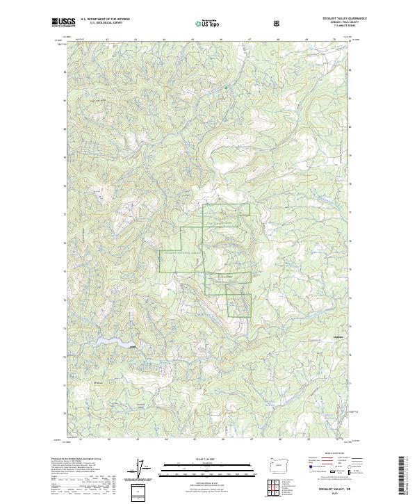
2023 Socialist Valley
Polk County, OR
2023 Valsetz
Polk County, OR
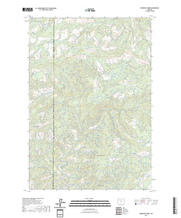
2023 Warnicke Creek
Polk County, OR