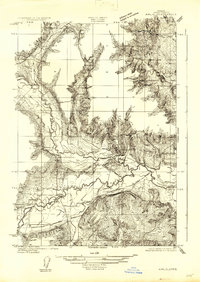
1922 Map of Airlie
USGS Topo · Published 1922About this map
Luckiamute River and the Little Luckiamute River dominate the drainage of this Polk County landscape, which was surveyed by Chas. Hartmann, J.H. Le Feaver, and Bishop Moorhead between 1914 and 1922. The settlement of Lewisville serves as a local hub near the confluence of these waterways, supported by a network of rural education including the Antioch School, Lewisville School, and Luckiamute School.
Find a feature on this map
12 named features on this map. Tap any name to fly to it.
Don’t see what you’re looking for? This feature index may not catch every label — zoom into the map to look around manually.
Map Details
Editions of this 1922 Airlie Map
3 editions found
Other maps of this area

1913 · Wells
USGS Topo · 1:31,680

1914 · Independence
USGS Topo · 1:31,680

1914 · Soap Creek
USGS Topo · 1:31,680

1915 · Rickreall
USGS Topo · 1:31,680

1916 · Albany
USGS Topo · 1:62,500

1917 · Salem
USGS Topo · 1:62,500

1921 · Corvallis
USGS Topo · 1:62,500

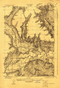
1922 · Airlie
USGS Topo · 1:31,680

1940 · Salem
USGS Topo · 1:62,500

1942 · Corvallis
USGS Topo · 1:62,500