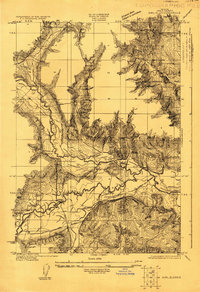
1922 Map of Airlie
USGS Topo · Published 1922About this map
Luckiamute River meanders across this rural landscape in the early 1920s, serving as the central drainage for a region defined by its timber and agricultural potential. The settlement of Lewisville acts as a local hub, supported by a network of educational institutions including Lewisville School, Antioch School, and Luckiamute School which reflect the distributed nature of the rural population during this era. Transportation is dominated by the Southern Pacific railroad, specifically its Airlie Branch, and the Valley and Siletz Road, which provided vital links for moving local goods. A specific information-gain detail is the inclusion of Simpson Siding, a rail feature indicating the localized infrastructure required for freight and commerce along the river valley. The topography, surveyed by Chas. Hartmann and J. H. Le Feaver, illustrates the transition from the river bottomlands to the surrounding upland ridges.
Find a feature on this map
12 named features on this map. Tap any name to fly to it.
Don’t see what you’re looking for? This feature index may not catch every label — zoom into the map to look around manually.
Map Details
Editions of this 1922 Airlie Map
3 editions found
Other maps of this area

1913 · Wells
USGS Topo · 1:31,680

1914 · Independence
USGS Topo · 1:31,680

1914 · Soap Creek
USGS Topo · 1:31,680

1915 · Rickreall
USGS Topo · 1:31,680

1916 · Albany
USGS Topo · 1:62,500

1917 · Salem
USGS Topo · 1:62,500

1921 · Corvallis
USGS Topo · 1:62,500

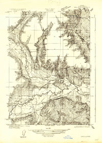
1922 · Airlie
USGS Topo · 1:31,680

1940 · Salem
USGS Topo · 1:62,500

1942 · Corvallis
USGS Topo · 1:62,500