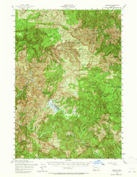
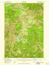
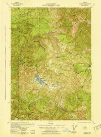
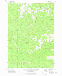
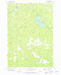
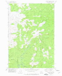
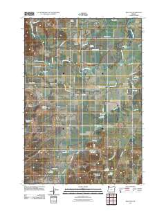
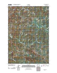
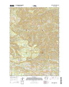
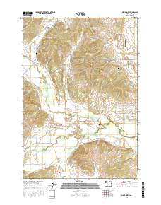
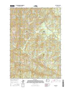
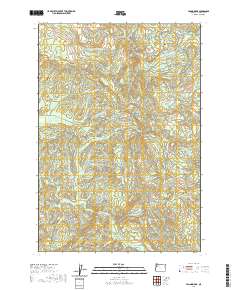
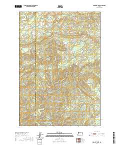
1956 Map of Valsetz
USGS Topo · Published 1965About this map
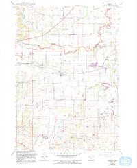
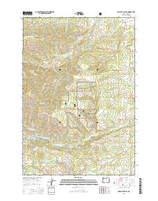
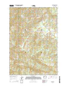
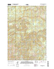
Valsetz serves as the central hub of this mid-century survey, situated at the terminus of the Valley and Siletz Railroad. The settlement's life is defined by its proximity to Valsetz Lake and its role in the timber-rich landscape of the Oregon Coast Range. Logging operations are evident through the presence of several camps, including Camp Russell and Camp Walker, which are connected by a network of logging roads and rail spurs winding through high elevations. The topography is dominated by prominent peaks such as Laurel Mtn and Monmouth Peak, which overlook the headwaters of the Siletz River and Luckiamute River. To the north, Fanno Ridge and Riley Peak separate the drainage basins, while smaller outposts like Olson and K Junction mark the era's transport and communication points in these densely forested hills.
Find a feature on this map
47 named features on this map. Tap any name to fly to it.
Don’t see what you’re looking for? This feature index may not catch every label — zoom into the map to look around manually.
Map Details
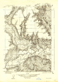
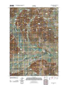
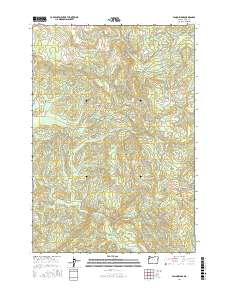
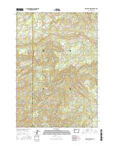
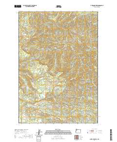
Editions of this 1956 Valsetz Map
2 editions found
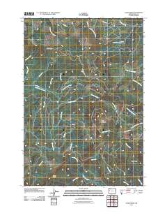
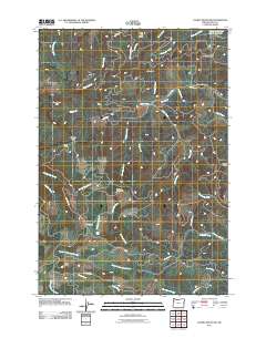
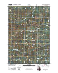
Historical Maps of Polk County Through Time
45 maps found
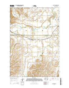
1922 Airlie
Polk County, OR
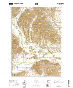
1942 Valsetz
Polk County, OR
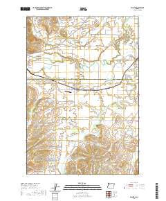
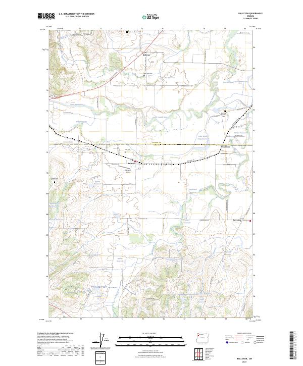
1956 Ballston
Polk County, OR
1956 Valsetz
Polk County, OR
1973 Socialist Valley
Polk County, OR
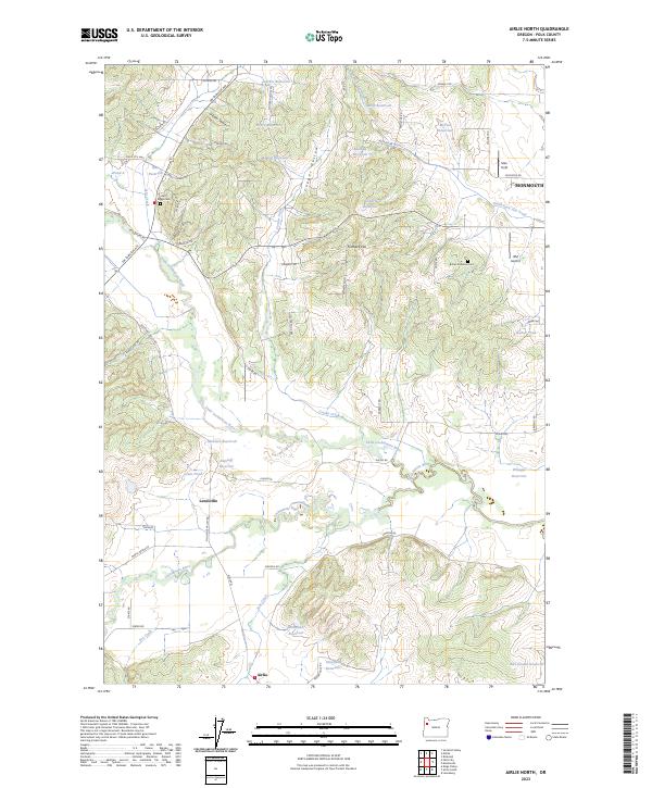
1974 Airlie North
Polk County, OR
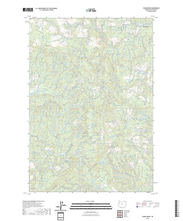
1974 Fanno Ridge
Polk County, OR
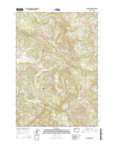
1974 Laurel Mtn
Polk County, OR
1974 Valsetz
Polk County, OR
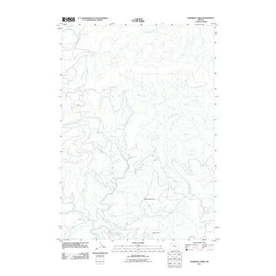
1974 Warnicke Creek
Polk County, OR
2011 Airlie North
Polk County, OR
2011 Ballston
Polk County, OR
2011 Fanno Ridge
Polk County, OR
2011 Laurel Mountain
Polk County, OR
2011 Socialist Valley
Polk County, OR
2011 Valsetz
Polk County, OR
2011 Warnicke Creek
Polk County, OR

2014 Airlie North
Polk County, OR
2014 Ballston
Polk County, OR
2014 Fanno Ridge
Polk County, OR
2014 Laurel Mountain
Polk County, OR
2014 Socialist Valley
Polk County, OR
2014 Valsetz
Polk County, OR
2014 Warnicke Creek
Polk County, OR
2017 Airlie North
Polk County, OR

2017 Ballston
Polk County, OR
2017 Fanno Ridge
Polk County, OR
2017 Laurel Mountain
Polk County, OR
2017 Socialist Valley
Polk County, OR
2017 Valsetz
Polk County, OR
2017 Warnicke Creek
Polk County, OR
2020 Airlie North
Polk County, OR
2020 Ballston
Polk County, OR
2020 Fanno Ridge
Polk County, OR
2020 Laurel Mountain
Polk County, OR
2020 Socialist Valley
Polk County, OR
2020 Valsetz
Polk County, OR
2020 Warnicke Creek
Polk County, OR
2023 Airlie North
Polk County, OR
2023 Ballston
Polk County, OR
2023 Fanno Ridge
Polk County, OR
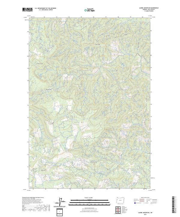
2023 Laurel Mountain
Polk County, OR
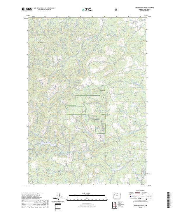
2023 Socialist Valley
Polk County, OR
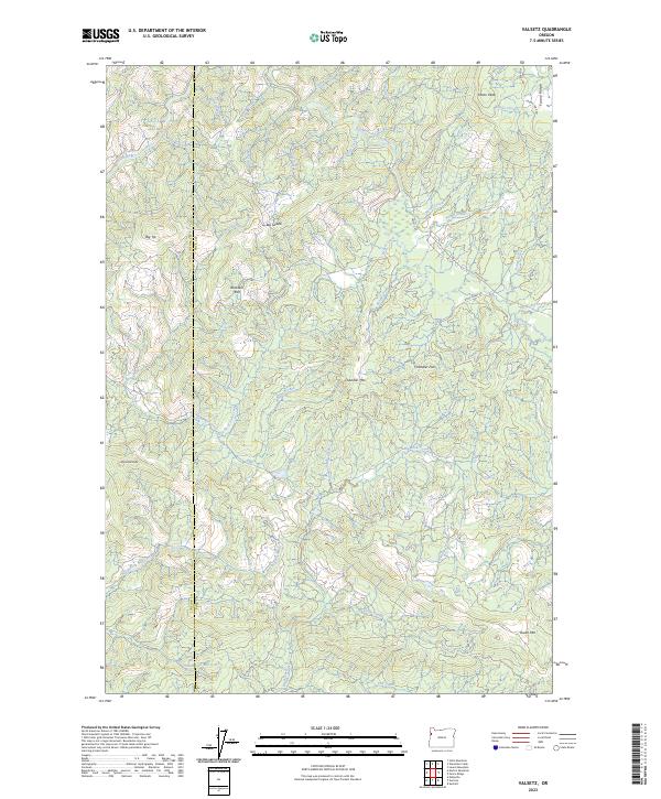
2023 Valsetz
Polk County, OR
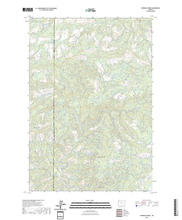
2023 Warnicke Creek
Polk County, OR