
1956 Map of Valsetz
USGS Topo · Published 1958About this map
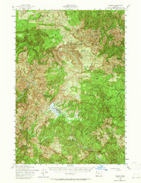
The timber town of Valsetz and the surrounding Coast Range peaks define this mid-century survey of the Lincoln and Polk County border. As of 1956, the landscape is a network of active and former logging infrastructure, including the logging community at Western Camp and several specialized outposts like Boulder Camp and Camp Russell. The rugged terrain is punctuated by high-elevation fire watch points, including the Fanno Peak Lookout and Condenser Peak Lookout. The drainage of the Siletz River and Valsetz Lake provides the focal point for local operations, while the presence of the Lost Railroad Grade and Old Railroad Grade near Black Rock highlights the shifting transportation methods of the timber industry as rails gave way to truck roads. From the deep canyons of Gorge Canyon to the heights of Laurel Mtn, the map documents a working forest during the peak of the post-war timber boom.
Find a feature on this map
77 named features on this map. Tap any name to fly to it.
Don’t see what you’re looking for? This feature index may not catch every label — zoom into the map to look around manually.
Map Details
Editions of this 1956 Valsetz Map
2 editions found
Other maps of this area

1921 · Corvallis
USGS Topo · 1:62,500

1939 · Marys Peak
USGS Topo · 1:62,500

1941 · Nestucca Bay
USGS Topo · 1:62,500

1942 · Euchre Mtn
USGS Topo · 1:62,500

1942 · Sheridan
USGS Topo · 1:62,500

1942 · Marys Peak
USGS Topo · 1:62,500

1942 · Spirit Mtn
USGS Topo · 1:62,500

1942 · Nestucca Bay
USGS Topo · 1:62,500

1942 · Corvallis
USGS Topo · 1:62,500

1942 · Valsetz
USGS Topo · 1:62,500