
1941 Map of Nestucca Bay
USGS Topo · Published 1941About this map
The Nestucca River winds through a landscape of coastal timber and early mid-century shoreline development in this 1941 tactical survey. The Siuslaw National Forest dominates the interior, where the local timber economy is evidenced by the Hebo Alder Mill and the Bielman Shingle Co. near Hebo. Along the Pacific coast, the map documents the established beach communities of Pacific City, Neskowin, and Tierra Del Mar Beach, alongside Depression-era infrastructure like the Miles Lake CCC Camp. Several fire lookouts, including Green Point Lookout, stand watch over the heavily forested border between Tillamook and Lincoln counties. The survey also highlights important conservation and research efforts of the era at the Cascade Head Experimental Forest Station and a local Trout Hatchery, providing a look at the region before modern highway expansions altered the character of these seaside and forest settlements.
Find a feature on this map
52 named features on this map. Tap any name to fly to it.
Don’t see what you’re looking for? This feature index may not catch every label — zoom into the map to look around manually.
Map Details
Editions of this 1941 Nestucca Bay Map
This is the sole edition of this map. No revisions or reprints were ever made.
Other maps of this area
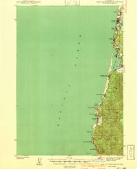
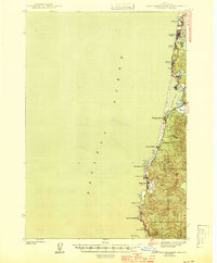
1941 · Cape Foulweather
USGS Topo · 1:62,500
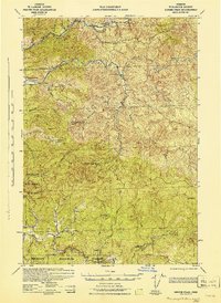
1942 · Ginger Peak
USGS Topo · 1:62,500
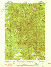
1942 · Euchre Mtn
USGS Topo · 1:62,500
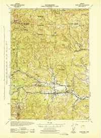
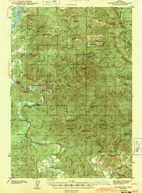
1942 · Spirit Mtn
USGS Topo · 1:62,500

1942 · Nestucca Bay
USGS Topo · 1:62,500
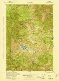
1942 · Valsetz
USGS Topo · 1:62,500
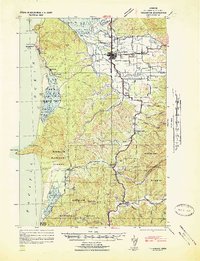
1942 · Tillamook
USGS Topo · 1:62,500
1943 · Euchre Mtn
USGS Topo · 1:62,500
1944 · Cape Foulweather
USGS Topo · 1:62,500

1948 · Vancouver
USGS Topo · 1:250,000