
1942 Map of Tillamook
USGS Topo · Published 1942About this map
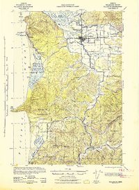
The Tillamook river valley and coastal shelf are documented here at the height of World War II in this tactical survey prepared by the Corps of Engineers. The city of Tillamook serves as the hub for a network of waterways including the Wilson River, Trask River, and Kilchis River, which feed into the complex tidal flats of Tillamook Bay. The presence of the Southern Pacific railroad and the Tillamook Co Fairgrounds anchors the inland settlement, while coastal communities like Oceanside and Netarts appear established along the Pacific front.
Find a feature on this map
50 named features on this map. Tap any name to fly to it.
Don’t see what you’re looking for? This feature index may not catch every label — zoom into the map to look around manually.
Map Details
Editions of this 1942 Tillamook Map
2 editions found
Other maps of this area

1937 · Nehalem
USGS Topo · 1:62,500

1937 · Enright
USGS Topo · 1:62,500

1941 · Nestucca Bay
USGS Topo · 1:62,500

1941 · Enright
USGS Topo · 1:62,500

1942 · Ginger Peak
USGS Topo · 1:62,500

1942 · Spirit Mtn
USGS Topo · 1:62,500

1942 · Nestucca Bay
USGS Topo · 1:62,500

1943 · Nehalem
USGS Topo · 1:62,500

1948 · Vancouver
USGS Topo · 1:250,000

1950 · Vancouver
USGS Topo · 1:250,000