
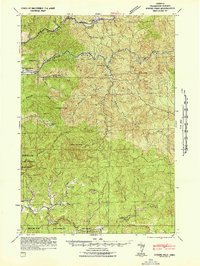
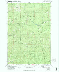
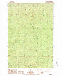
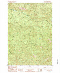
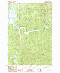
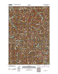
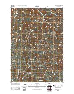
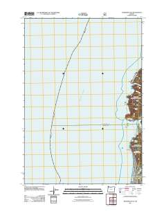
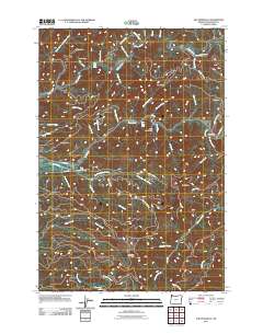
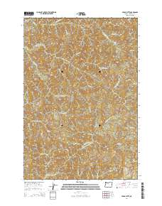
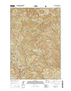
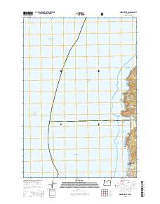
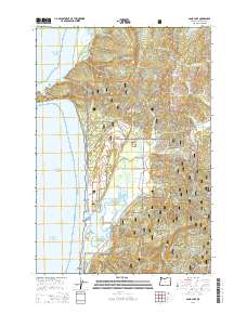
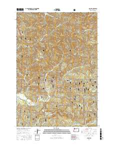
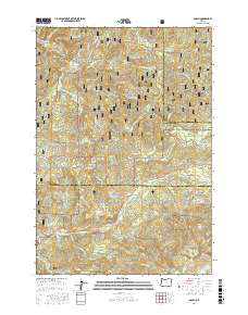
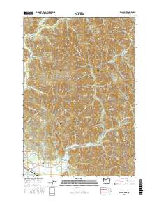
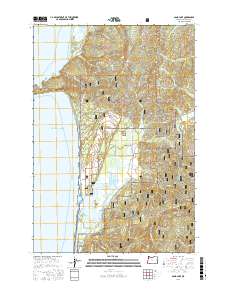
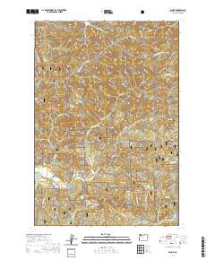
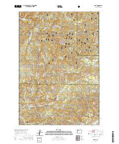
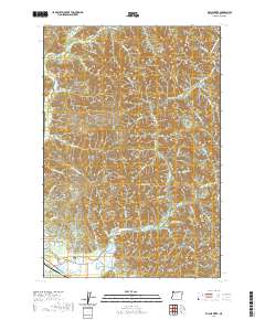
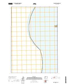
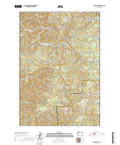
1941 Map of Enright
USGS Topo · Published 1941About this map
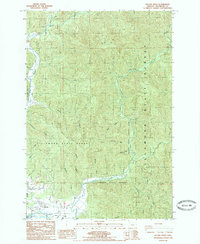
The Nehalem River and Salmonberry River carve through the deep drainages of the Northern Oregon Coast Range in this 1941 tactical survey. The Southern Pacific railroad follows the winding path of the Salmonberry, serving small settlements and stops like Enright, Wakefield, and Rector. This era was defined by recovery and regrowth following catastrophic forest fires; the map explicitly denotes large swaths of the landscape as Burned 1933 and Burned 1939, tracing the early history of the Tillamook Burn.
Find a feature on this map
34 named features on this map. Tap any name to fly to it.
Don’t see what you’re looking for? This feature index may not catch every label — zoom into the map to look around manually.
Map Details
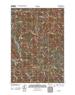
Editions of this 1941 Enright Map
This is the sole edition of this map. No revisions or reprints were ever made.
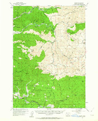
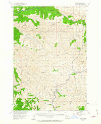
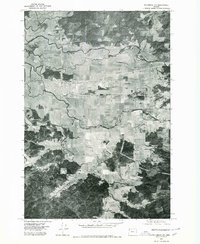
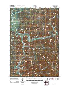
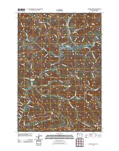
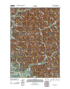
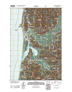
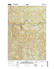
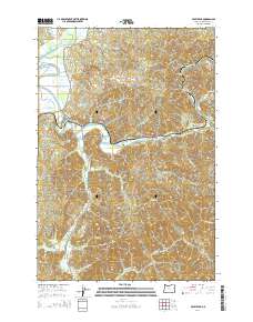
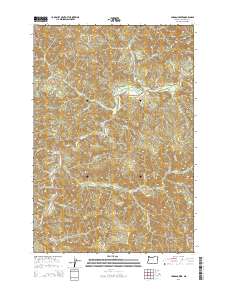
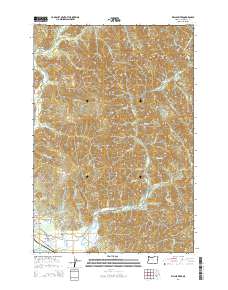
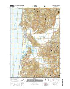
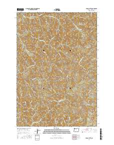
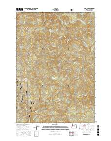
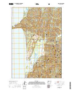
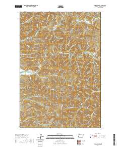
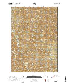
Historical Maps of Jordan Creek Through Time
109 maps found

1937 Enright
Tillamook County, OR
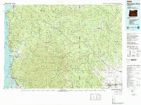
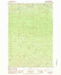
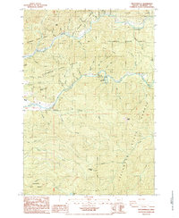
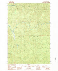
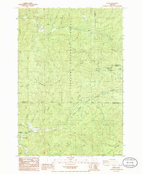
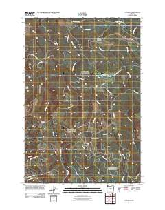
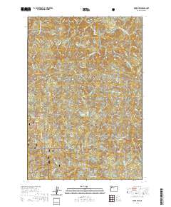
1941 Enright
Tillamook County, OR

1941 Nestucca Bay
Tillamook County, OR
1942 Ginger Peak
Tillamook County, OR

1942 Nestucca Bay
Tillamook County, OR
1955 Blaine
Tillamook County, OR
1955 Enright
Tillamook County, OR
1975 Tillamook NE
Tillamook County, OR
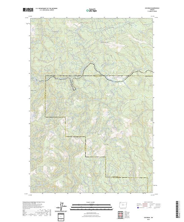
1979 Cochran
Tillamook County, OR
1979 Nehalem River
Tillamook County, OR
1979 Woods Point
Tillamook County, OR
1984 Blaine
Tillamook County, OR
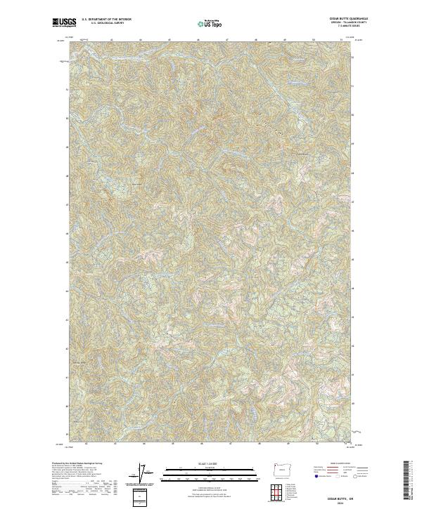
1984 Cedar Butte
Tillamook County, OR
1984 Cook Creek
Tillamook County, OR
1984 Dovre Peak
Tillamook County, OR
1984 Jordan Creek
Tillamook County, OR
1984 Rogers Peak
Tillamook County, OR
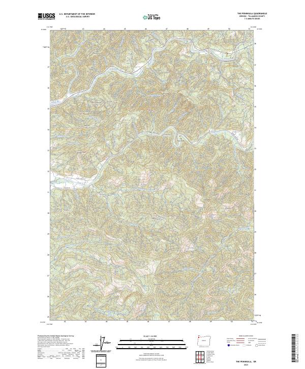
1984 The Peninsula
Tillamook County, OR
1984 Trask
Tillamook County, OR
1985 Dolph
Tillamook County, OR
1985 Foley Peak
Tillamook County, OR
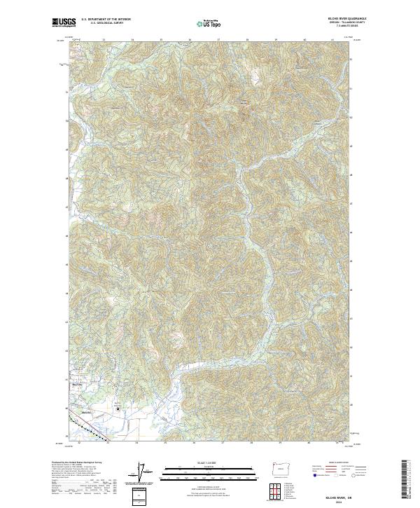
1985 Kilchis River
Tillamook County, OR

1985 Nestucca Bay
Tillamook County, OR
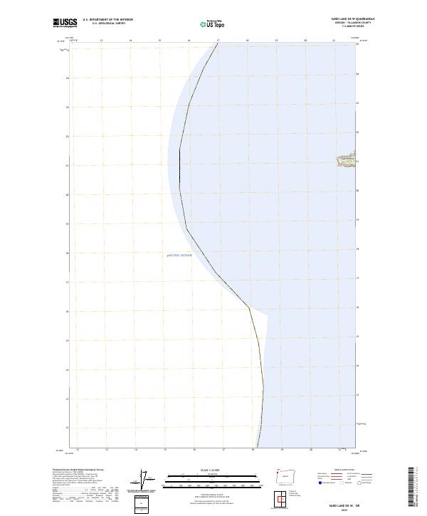
1985 Sand Lake
Tillamook County, OR
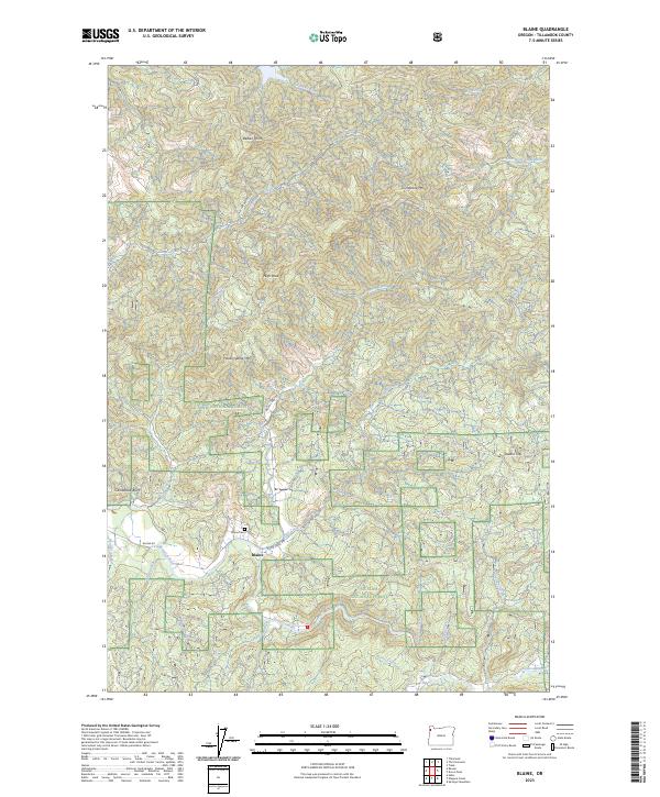
2011 Blaine
Tillamook County, OR
2011 Cedar Butte
Tillamook County, OR
2011 Cochran
Tillamook County, OR
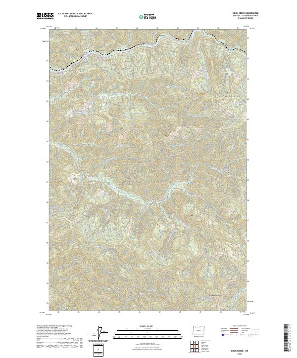
2011 Cook Creek
Tillamook County, OR
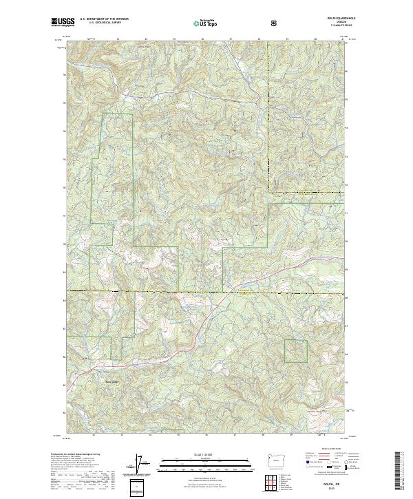
2011 Dolph
Tillamook County, OR
2011 Dovre Peak
Tillamook County, OR
2011 Foley Peak
Tillamook County, OR
2011 Jordan Creek
Tillamook County, OR
2011 Kilchis River
Tillamook County, OR
2011 Neskowin OE W
Tillamook County, OR
2011 Nestucca Bay
Tillamook County, OR
2011 Rogers Peak
Tillamook County, OR
2011 Sand Lake OE W
Tillamook County, OR

2011 Sand Lake
Tillamook County, OR
2011 The Peninsula
Tillamook County, OR
2011 Trask
Tillamook County, OR
2011 Woods Point
Tillamook County, OR
2014 Blaine
Tillamook County, OR
2014 Cedar Butte
Tillamook County, OR
2014 Cochran
Tillamook County, OR
2014 Cook Creek
Tillamook County, OR
2014 Dolph
Tillamook County, OR
2014 Dovre Peak
Tillamook County, OR
2014 Foley Peak
Tillamook County, OR
2014 Jordan Creek
Tillamook County, OR
2014 Kilchis River
Tillamook County, OR
2014 Neskowin OE W
Tillamook County, OR
2014 Nestucca Bay
Tillamook County, OR
2014 Rogers Peak
Tillamook County, OR
2014 Sand Lake OE W
Tillamook County, OR
2014 Sand Lake
Tillamook County, OR
2014 The Peninsula
Tillamook County, OR
2014 Trask
Tillamook County, OR
2014 Woods Point
Tillamook County, OR
2017 Blaine
Tillamook County, OR
2017 Cedar Butte
Tillamook County, OR
2017 Cochran
Tillamook County, OR
2017 Cook Creek
Tillamook County, OR
2017 Dolph
Tillamook County, OR
2017 Dovre Peak
Tillamook County, OR
2017 Foley Peak
Tillamook County, OR
2017 Jordan Creek
Tillamook County, OR
2017 Kilchis River
Tillamook County, OR
2017 Neskowin OE W
Tillamook County, OR

2017 Nestucca Bay
Tillamook County, OR
2017 Rogers Peak
Tillamook County, OR
2017 Sand Lake OE W
Tillamook County, OR
2017 Sand Lake
Tillamook County, OR
2017 The Peninsula
Tillamook County, OR
2017 Trask
Tillamook County, OR
2017 Woods Point
Tillamook County, OR
2020 Blaine
Tillamook County, OR
2020 Cedar Butte
Tillamook County, OR
2020 Cochran
Tillamook County, OR
2020 Cook Creek
Tillamook County, OR
2020 Dolph
Tillamook County, OR
2020 Dovre Peak
Tillamook County, OR
2020 Foley Peak
Tillamook County, OR
2020 Jordan Creek
Tillamook County, OR
2020 Kilchis River
Tillamook County, OR
2020 Neskowin OE W
Tillamook County, OR
2020 Nestucca Bay
Tillamook County, OR
2020 Rogers Peak
Tillamook County, OR
2020 Sand Lake OE W
Tillamook County, OR
2020 Sand Lake
Tillamook County, OR
2020 The Peninsula
Tillamook County, OR
2020 Trask
Tillamook County, OR
2020 Woods Point
Tillamook County, OR
2023 Blaine
Tillamook County, OR
2023 Cook Creek
Tillamook County, OR
2023 Dolph
Tillamook County, OR
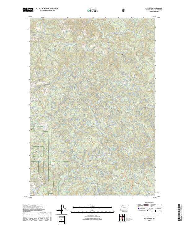
2023 Dovre Peak
Tillamook County, OR
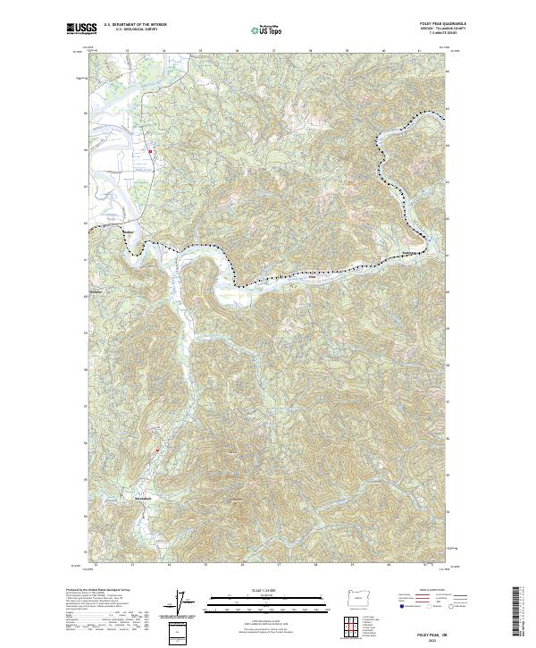
2023 Foley Peak
Tillamook County, OR
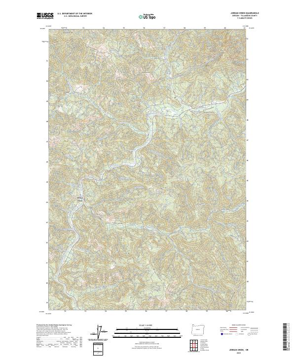
2023 Jordan Creek
Tillamook County, OR
2023 Sand Lake OE W
Tillamook County, OR
2023 The Peninsula
Tillamook County, OR
2024 Cedar Butte
Tillamook County, OR
2024 Cochran
Tillamook County, OR
2024 Kilchis River
Tillamook County, OR
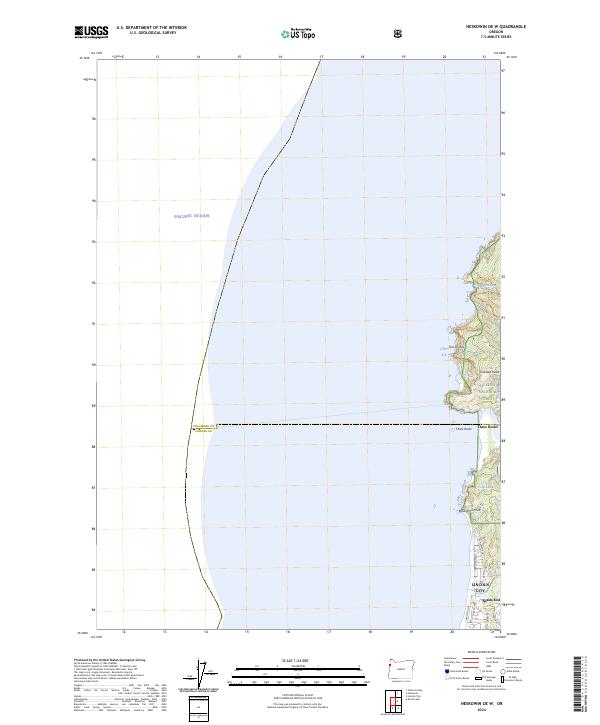
2024 Neskowin OE W
Tillamook County, OR
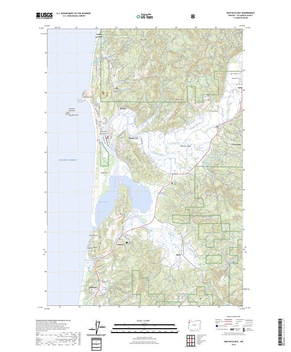
2024 Nestucca Bay
Tillamook County, OR
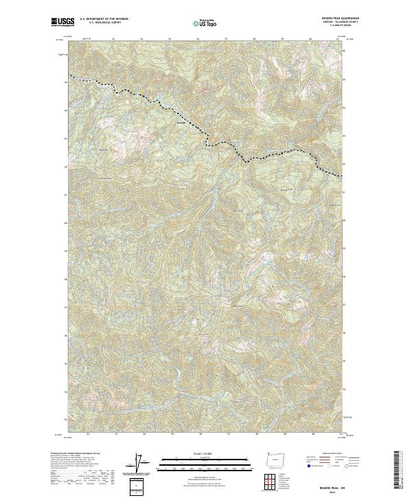
2024 Rogers Peak
Tillamook County, OR
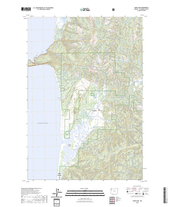
2024 Sand Lake
Tillamook County, OR
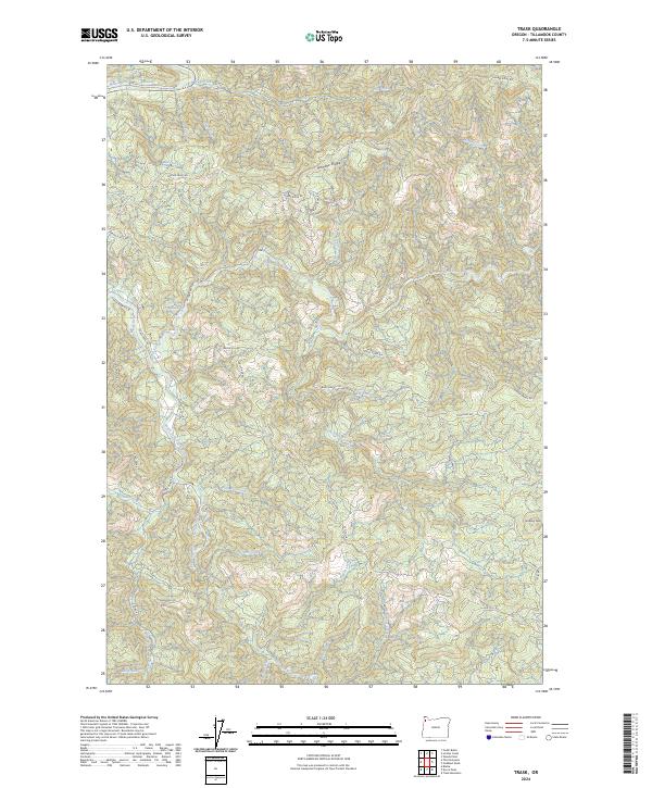
2024 Trask
Tillamook County, OR
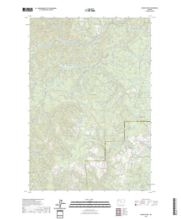
2024 Woods Point
Tillamook County, OR