Loading...
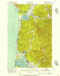
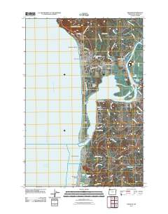
Loading map...1937 Map of Nehalem
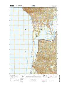
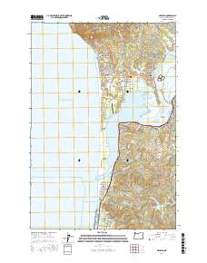
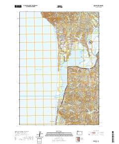
USGS Topo · Published 1954About this map
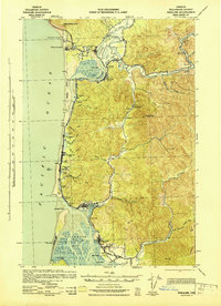
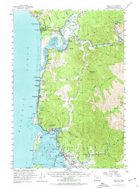
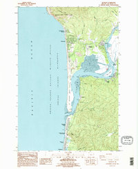
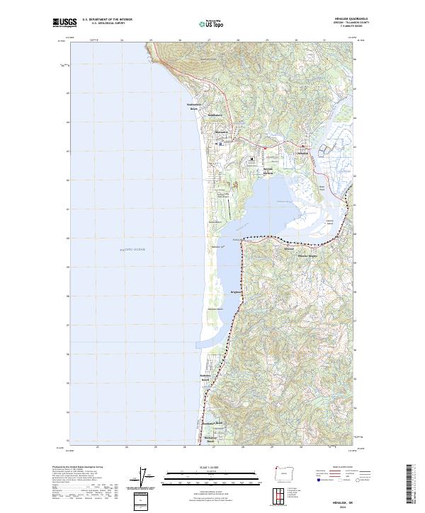
Neahkahnie Mountain looms over the Pacific shoreline, anchoring a coast defined by early twentieth-century resort development and industrial transport. This 1937 survey records the Tillamook County shoreline just as the Coast Highway began to unify the small seaside communities of Neahkahnie Beach, Manzanita Beach, and Rockaway. Southward, the coastal spit reveals the settlement of Bayocean, a location of significant interest for its subsequent geological history.
Find a feature on this map
64 named features on this map. Tap any name to fly to it.
Don’t see what you’re looking for? This feature index may not catch every label — zoom into the map to look around manually.
Map Details
Date Portrayed1937
Date Published1954
PublisherU.S. Geological Survey
Map TypeTopographic
Scale1:62,500
Physical Dimensions16.7 x 21.1 inches
Editions of this 1937 Nehalem Map
This is the sole edition of this map. No revisions or reprints were ever made.
Historical Maps of Rockaway Beach Through Time
9 maps found
Featured Locations
Source Details
SourceU.S. Geological Survey
CopyrightPublic Domain