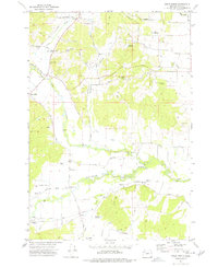
1974 Map of Airlie North
USGS Topo · Published 1977About this map
The Luckiamute River meanders across this rural section of Polk County, defining a landscape of agricultural lowlands and low hills in the mid-1970s. The region is marked by small settlements and crossroads such as Airlie, Lewisville, and Maple Grove, connected by a network of named thoroughfares like Kings Valley Road and Elkins Road. Transportation history is visible in the Valley and Siletz railroad line, which follows the river's path, and various stretches of Old Grade and Old Road that suggest an evolving rural infrastructure. Genealogists and local historians will find significant value in the documentation of family-named landmarks and resting places, including the Hart-Riggs Cem near Fern Corner and the Butler-Davidson Cem further east. The map also identifies water management through sites like McCrae Reservoir and Buchanan Reservoir, alongside the prominent Fishback Hill.
Find a feature on this map
43 named features on this map. Tap any name to fly to it.
Don’t see what you’re looking for? This feature index may not catch every label — zoom into the map to look around manually.
Map Details
Editions of this 1974 Airlie North Map
This is the sole edition of this map. No revisions or reprints were ever made.
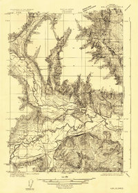
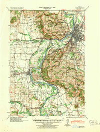
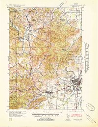
Other maps of this area

1913 · Wells
USGS Topo · 1:31,680

1914 · Independence
USGS Topo · 1:31,680

1914 · Soap Creek
USGS Topo · 1:31,680

1915 · Rickreall
USGS Topo · 1:31,680

1916 · Albany
USGS Topo · 1:62,500

1917 · Salem
USGS Topo · 1:62,500

1921 · Corvallis
USGS Topo · 1:62,500
1922 · Airlie
USGS Topo · 1:31,680
1940 · Salem
USGS Topo · 1:62,500
1942 · Corvallis
USGS Topo · 1:62,500