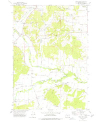
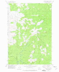
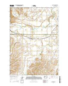
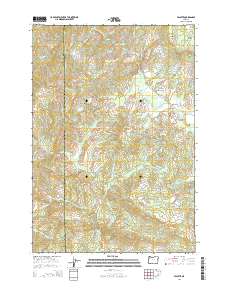
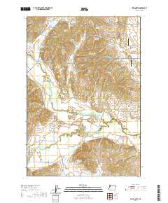
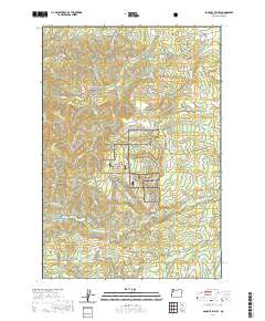
1956 Map of Ballston
USGS Topo · Published 1993About this map
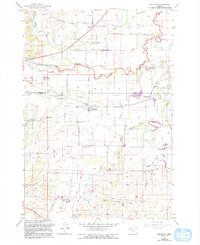
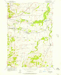
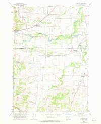
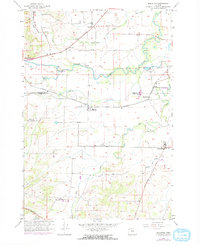
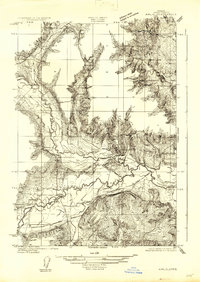
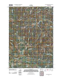
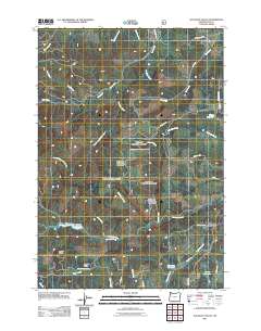
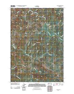
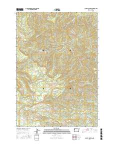
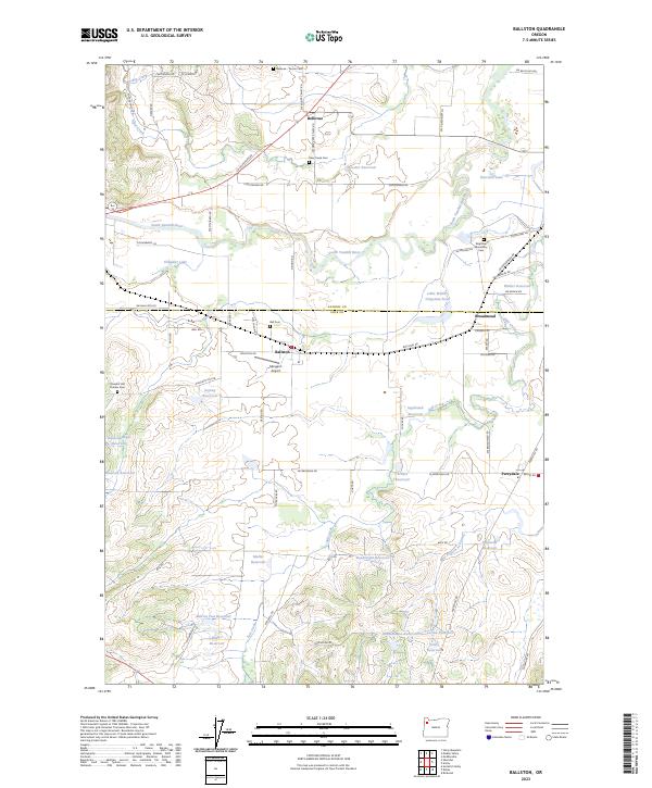
The South Yamhill River meanders through this agricultural corridor along the border of Yamhill and Polk counties, anchoring a landscape defined by mid-century farming and rail transport. The small community of Ballston serves as a central hub, flanked by the Southern Pacific railroad line which connects nearby Broadmead and Perrydale. This 1956 survey, updated with 1980s data, reveals the persistence of early pioneer landmarks such as Deer Creek Cem, Ball Cem, and the Pleasant Hill Cemetery.
Find a feature on this map
29 named features on this map. Tap any name to fly to it.
Don’t see what you’re looking for? This feature index may not catch every label — zoom into the map to look around manually.
Map Details
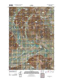
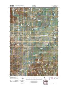
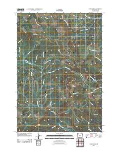
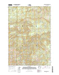
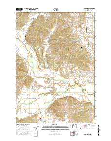
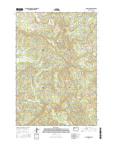
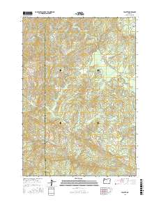
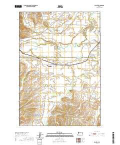
Editions of this 1956 Ballston Map
4 editions found
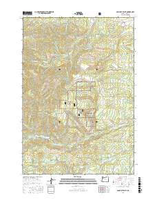
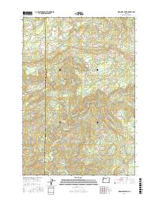
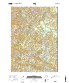
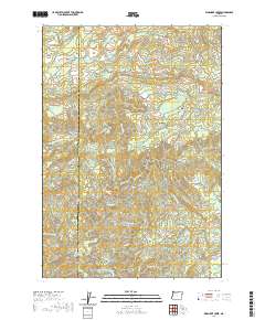
Historical Maps of Broadmead Through Time
45 maps found
1922 Airlie
Polk County, OR
1942 Valsetz
Polk County, OR
1956 Ballston
Polk County, OR
1956 Valsetz
Polk County, OR
1973 Socialist Valley
Polk County, OR
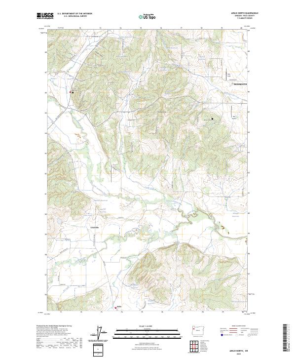
1974 Airlie North
Polk County, OR
1974 Fanno Ridge
Polk County, OR
1974 Laurel Mtn
Polk County, OR
1974 Valsetz
Polk County, OR
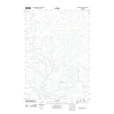
1974 Warnicke Creek
Polk County, OR
2011 Airlie North
Polk County, OR
2011 Ballston
Polk County, OR
2011 Fanno Ridge
Polk County, OR
2011 Laurel Mountain
Polk County, OR
2011 Socialist Valley
Polk County, OR
2011 Valsetz
Polk County, OR
2011 Warnicke Creek
Polk County, OR

2014 Airlie North
Polk County, OR
2014 Ballston
Polk County, OR
2014 Fanno Ridge
Polk County, OR
2014 Laurel Mountain
Polk County, OR
2014 Socialist Valley
Polk County, OR
2014 Valsetz
Polk County, OR
2014 Warnicke Creek
Polk County, OR
2017 Airlie North
Polk County, OR

2017 Ballston
Polk County, OR
2017 Fanno Ridge
Polk County, OR
2017 Laurel Mountain
Polk County, OR
2017 Socialist Valley
Polk County, OR
2017 Valsetz
Polk County, OR
2017 Warnicke Creek
Polk County, OR
2020 Airlie North
Polk County, OR
2020 Ballston
Polk County, OR
2020 Fanno Ridge
Polk County, OR
2020 Laurel Mountain
Polk County, OR
2020 Socialist Valley
Polk County, OR
2020 Valsetz
Polk County, OR
2020 Warnicke Creek
Polk County, OR
2023 Airlie North
Polk County, OR
2023 Ballston
Polk County, OR
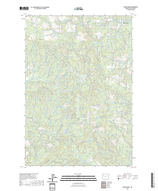
2023 Fanno Ridge
Polk County, OR
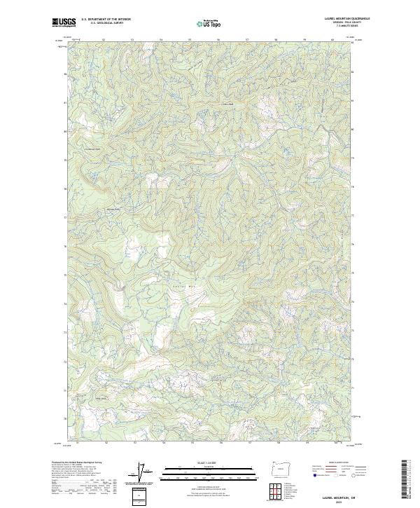
2023 Laurel Mountain
Polk County, OR
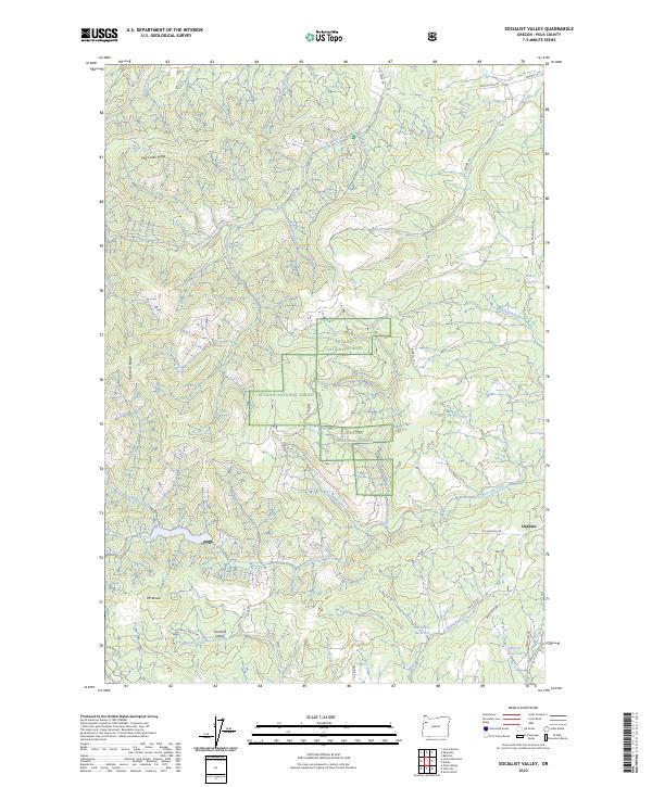
2023 Socialist Valley
Polk County, OR
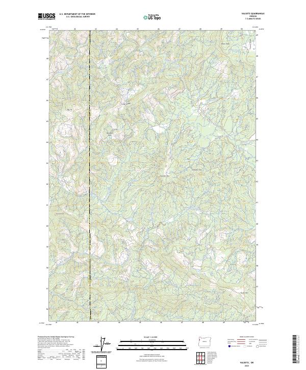
2023 Valsetz
Polk County, OR
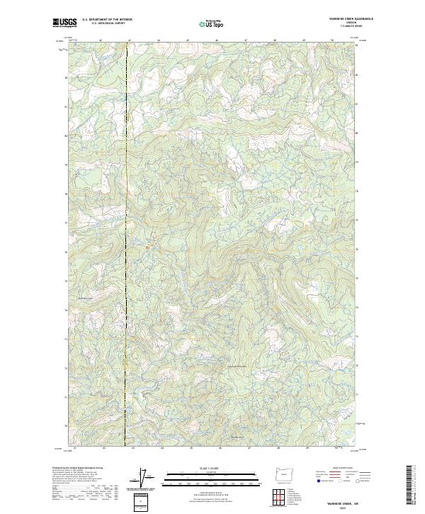
2023 Warnicke Creek
Polk County, OR