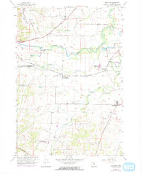
1956 Map of Ballston
USGS Topo · Published 1971About this map
The Yamhill Co Polk Co line divides this agricultural landscape, where the South Yamhill River meanders across a wide valley floor. The settlement of Ballston serves as a central point along the Southern Pacific railroad line, which provided a vital transportation link for local agriculture during the mid-20th century. Evidence of the region’s grain production is visible at the grain elevators located near Perrydale and along the rail corridor. Smaller communities like Bellevue and Broadmead are connected by a network of rural roads, including Highway 18 and the Amity Dallas Road. Genealogists will find significant value in the distribution of family-named burial grounds, such as Yocum Cem, Ball Cem, and the Deer Creek Cem near Deer Creek. The terrain is further defined by seasonal drainages like Salt Creek and Ash Swale, illustrating the drainage patterns that shaped local farm boundaries.
Find a feature on this map
27 named features on this map. Tap any name to fly to it.
Don’t see what you’re looking for? This feature index may not catch every label — zoom into the map to look around manually.
Map Details
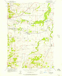
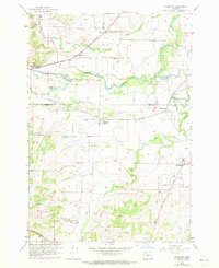
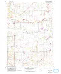
Editions of this 1956 Ballston Map
4 editions found
Other maps of this area

1915 · Rickreall
USGS Topo · 1:31,680

1917 · Salem
USGS Topo · 1:62,500

1924 · Mc Minnville
USGS Topo · 1:48,000

1926 · Mc Minnville
USGS Topo · 1:62,500

1940 · McMinnville
USGS Topo · 1:62,500

1940 · Salem
USGS Topo · 1:62,500

1942 · Sheridan
USGS Topo · 1:62,500

1942 · Dallas
USGS Topo · 1:62,500

1948 · Vancouver
USGS Topo · 1:250,000

1950 · Vancouver
USGS Topo · 1:250,000